Week 2 Challenge
1. What are workspaces and worksets? List Civil specific variables (min. 5). Where is the workspaces saved on computer (default location).
2. What are feature definitions? What is broader classification of feature definition types.
3. Create a dgn file with 2D imperial seed file and 3D imperial seed file. Save it in project data folder, creating new folder named DGN from SEED.
4. Set geographic coordinate system to TX-83, North Central zone, US survey foot. Turn on the background imagery. Save this file with save settings.
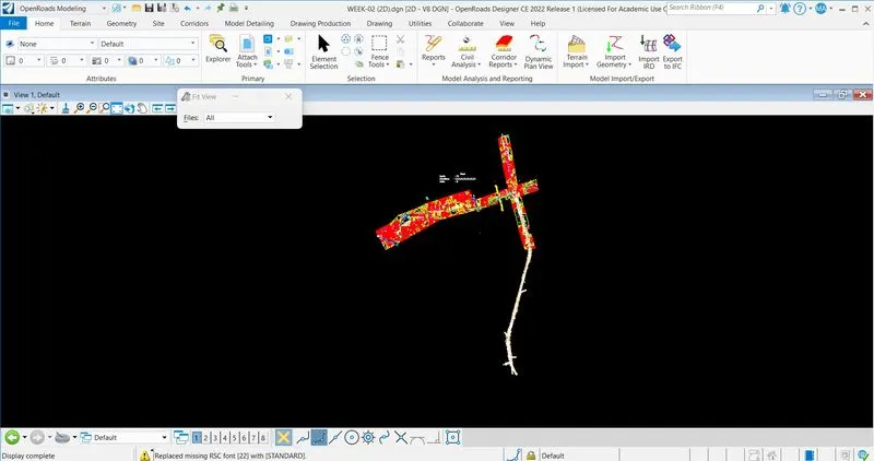
5. Attach the survey file from SURVEY folder to the newly created 2D dgn in above #3.
Q-1 : WORKSPACES :
The software is configured in a WorkSpace and a WorkSet. A WorkSpace is a collection of standard settings that control how the program works. The Department of Transportation (TDOT) has its own WorkSpace with specific TDOT CADD standards, including cells, color tables, dgnlibs, fonts, scales, seed files, sheet border, model template library, etc.
WORKSET :
A WorkSet is a project folder where the user will store all project files. This folder can also be used to store files that supplement the TDOT Workspace.
WorkSpace : National Highway Authority of India (NHAI)
WorkSet : NH 34
State Highway : SH 01
Public Works Department (PWD)
Kolkata Municipal Development Authority (KMDA) - West Bengal
SAVED ON :
C:\ProgramData\Bentley\OpenRoads Designer CE 10.11\Configuration\WorkSpaces\Training and Examples\Worksets\Training-Imperial\Standards\SeedC:\ProgramData\Bentley\OpenRoads Designer CE 10.11\Configuration\WorkSpaces\Training and Examples\Worksets\Training-Imperial\Standards\Seed.
Q-2 : FEATURE DEFINATION :
The feature defination can be used to define the symbology and display of the feature in all viewing possibilities, element naming, automatic selection of templates, attributes for quantity calculation of areas and other attributes.
BROADER CLASSIFICATION TYPE :
These are the following broader classification type of feature defination.
- Alignment
- Terrain
- Corridor
- Superelevation
- Linear Template
- Surface Template
- Linear
- Point
- Mesh
Q-3 : CREATE A DGN FILE :
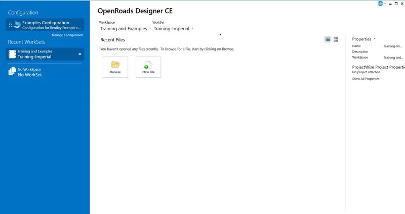
Open "Open Road Design" software > Select WorkSpace as "Training and Examples" > Select WorkSet as "Training-Imperial" > Click on New File > Save in "COMPLETED ASSIGNMENT" > Seed - Browse - Select Seed 2D - Imperial Training.dgn > File name "WEEK-02(2D)" > Save.
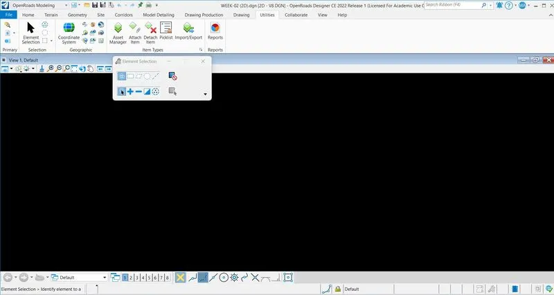
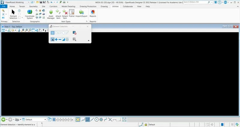
Click on file tab > New > Seed - Browse - Select Seed 3D - Imperial training.dgn > File name "WEEK-02 (3D)" > Save.
Q-4 : COORDINATE SYSTEM :
In WEEK-02 (2D) file > Click on Utilities tab > Select coordinate system > Select from libraryt > Click on search bar > Type TX83-NCF > Click on Ok > Save > Save settings.
Click on view attributes > Background map type : Aerial > Save > Save settings.
Q-5 : ATTACH SURVEY FILE :
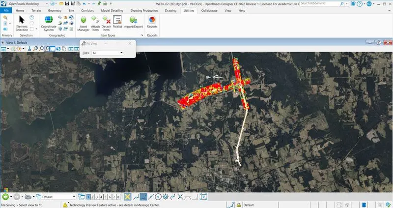
Click on attach tools > References > Click on attach reference logo > Select given survey file > Open > Survey files is attached.