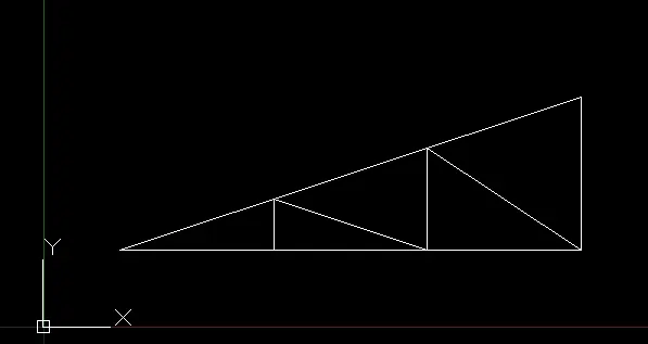
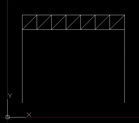
Creation of geometries by Coordinate system methods using AutoCad
AIM- Draw the geometries using all the coordinates system methods
INTRODUCTION-cordinate system
Absolute cordinate system-In absolute cordinate system all the points are located from the origin
Relative cordinate system- In relative cordinate system the points are located with respect to the previous point
Polar cordinate system-In polar cordinate system if one angle and the distance is known we can draw a line from the given point
PROCEDURE
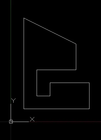
FORP1
Absolute cordinate system
- select a line command by typing L in command window and press enter (we can also select it directly from the home)
- specify the first point eg (2,1) press enter
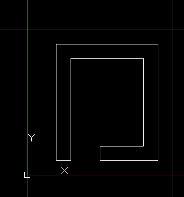
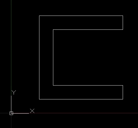
- specify the second point as (8,1)followed by (8,2)(3,2)(3,6)(8,6)(8,7)(2,7)(2,1)
- after mentioning all the point we get our figure in the autocad
Relative cordinate system
- select the line command
- specify the first point eg(2,1)
- now we need to specify the second point for which 1st point is the origin so it will be like let say we have to move 6 unit from point (2,1) in x direction so we write @6,0 and press enter and if we want to move 1 unit up in y direction from this point then we will write it as @0,1
- so set of commands are (2,1) @6,0 @0,1 @-5,0 @0,4 @5,0 @0,1 @-6,0 @0,-6
- following this way we can draw the figure
polar cordinate system
- select aline command
- specify the first point eg(2,1)
- now if i want to move 6 unit in x direction from this point then it can be done by using the command @6<0 and from here if i want to move 1 unit up in y axis then command for this will be @1<90
- so set of command are (2,1) @6<0 @1<90 @5<180 @4<90 @5<0 @1<90 @6<180 @6<270
- following this way we can draw the figure
RESULT
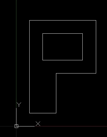
FORP2
Absolute cordinate system
- select a line command by typing L in command window and press enter (we can also select it directly from the home)
- specify the first point eg (2,1) press enter
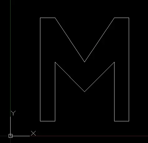
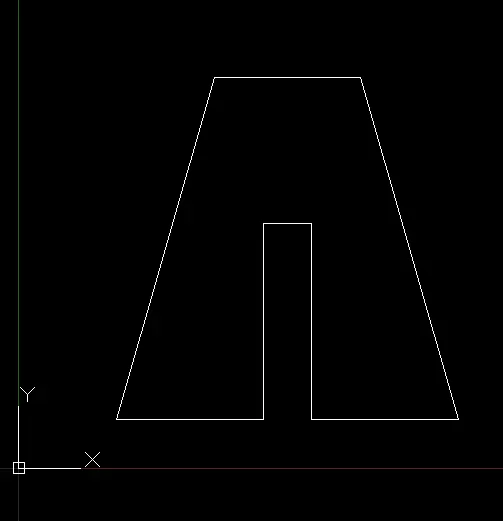
- followed by (5,1)(5,5)(6,5)(6,1)(9,1)(7,8)(4,8)(2,1)
- after mentioning all the point we get our figure in the autocad
Relative cordinate system
- select the line command
- specify the first point eg(2,1)
- now we need to specify the second point for which 1st point is the origin so it will be like let say we have to move 3 unit from point (2,1) in x direction so we write @3,0 and press enter and if we want to move 4 unit up in y direction from this point then we will write it as @0,4
- so set of commands are (2,1) @3,0 @0,4 @1,0 @0,-4 @3,0 @-2,7 @-3,0 @-2,-7
- following this way we can draw the figure
polar cordinate system
- select aline command
- specify the first point eg(2,1)
- so set of command are (2,1) @3<0 @4<90 @1<0 @4<270 @3<0 @7.2<106 @3<180, close
- following this way we can draw the figure
RESULT
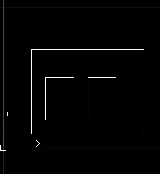
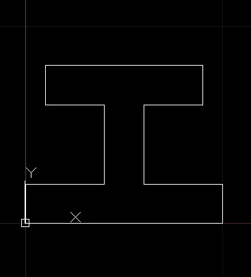
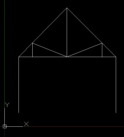
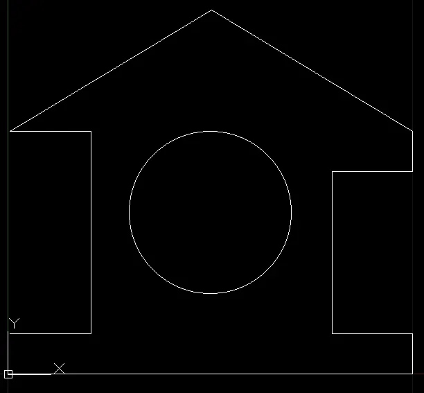
RESULT OF THE REMAINING FIGURE:-