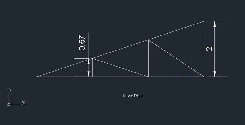
Creation of geometries by Coordinate system methods using AutoCad
AIM : Creation of geometries by Coordinate system methods using AutoCad
INTRODUCTION : Autocad is drafting tool which is used to create 2D objects. It is used to create 2D plan and elevation and section of floor plan of building. It is very easy to use and It is very accurate.
PROCEDURE :
- First create file and set the unit and limits of the file.
- find the all coordinates points before starting drawing.
- Use either absoluate and relative coordinates method.
- Type line "L" and (0,0) and clicking the coordinate as per given in questions.
RESULTS :
a)
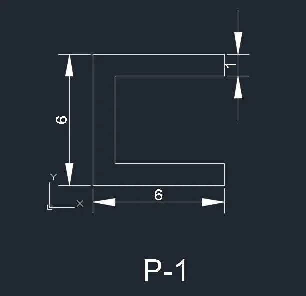
b)
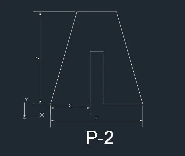
c)
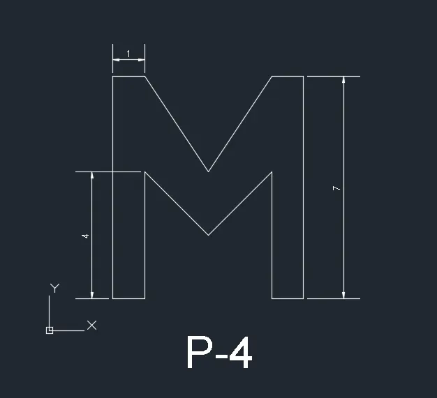
d)
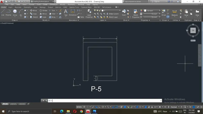
e)
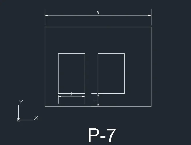
f)
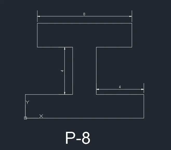
g)
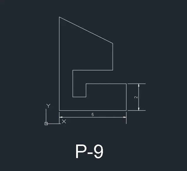
h)
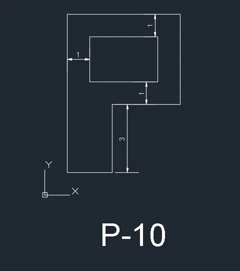
I)
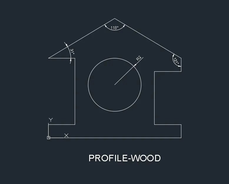
J)
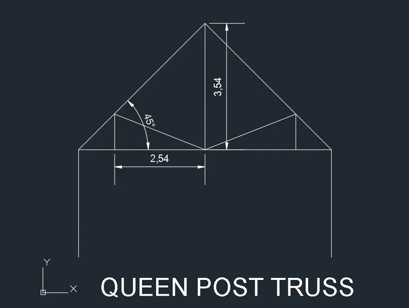
K)