Week 4 Challenge
1. Create a terrain model by different methods –
- By Graphical Filter
- By text interpolation
- By elements
Aim
To create a terrain model by the following methods mentioned.
1. By Graphical Filter
2. By text interpolation
3. By elements
Steps & Procedure
1. By Graphical Filter
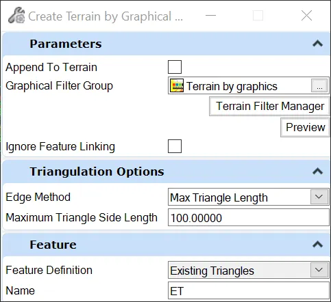
Openroads Modeling ⇒ Terrain ⇒ From Graphical Filter
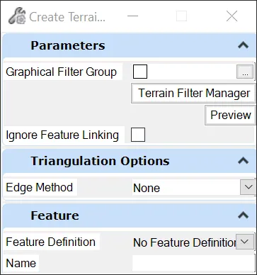
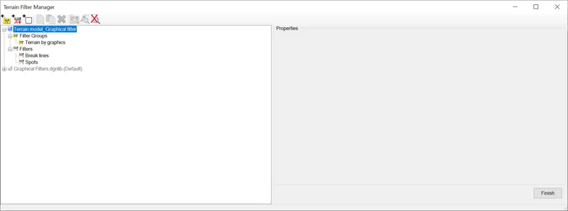
From Graphical Filter ⇒ Terrain Filter Manager ⇒ Create Filter Groups & Filters
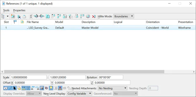
Openroads Modeling ⇒ Home ⇒ References ⇒ Select the reference file
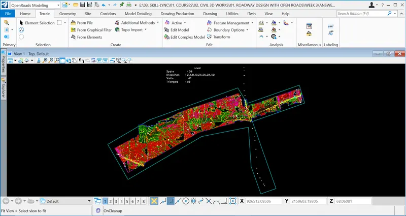
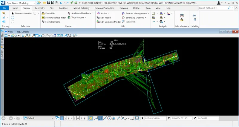
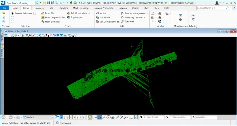
After selecting the Graphical Filter Group, Edge Method and Feature, Left Click to apply and Right Click to come out of the menu.
2. By Text Interpolation
Openroads Modeling ⇒ Home ⇒ References ⇒ Select the reference file
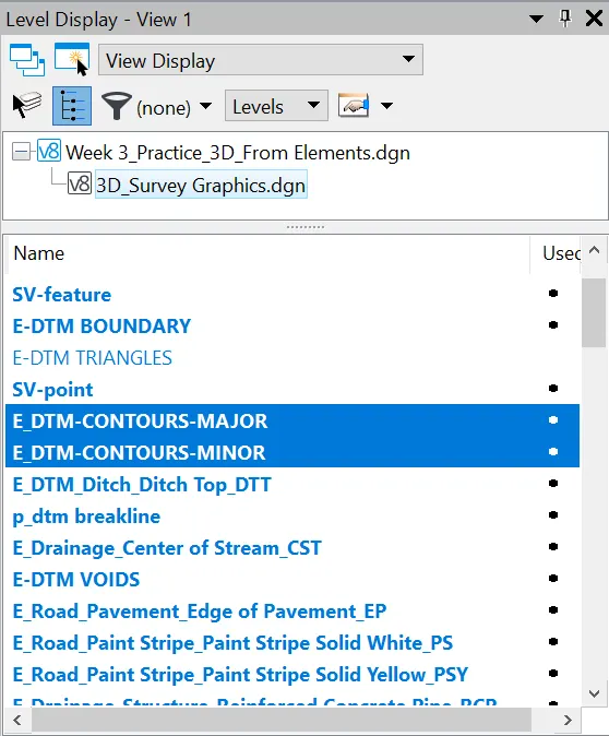
Openroads Modeling ⇒ Home ⇒ Level Display
Select the contours (E_DTM_CONTOURS MAJOR & MINOR) using Level Display.
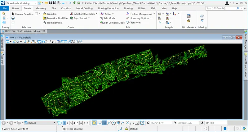
Openroads Modeling ⇒ Terrain ⇒ Additional Methods ⇒ Create by Text Interpolation
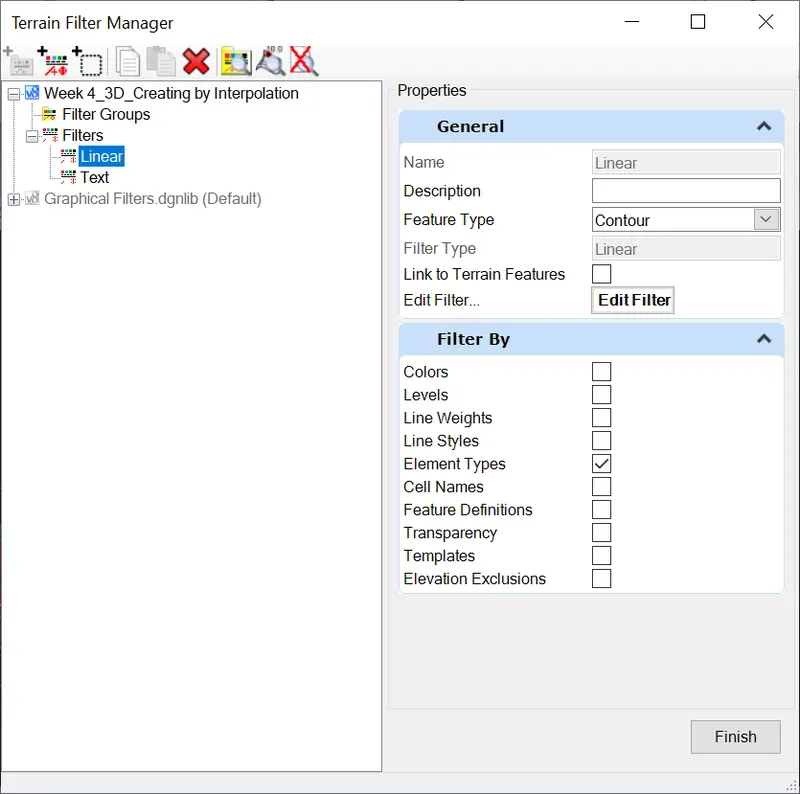
The terrain ll be modeled using the data point
3. By elements
Openroads Modeling ⇒ Terrain ⇒ From Elements
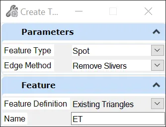
After selecting the Feature type as spots, Left Click to apply and Right Click to come out of the menu.
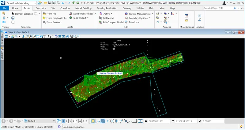
Result:
Thus, the terrain has been model as per the methods mentioned above.
2. Edit the terrain model created
Aim
To edit the terrain model created
Steps & Procedure
In order to edit the terrain model created,
Openroads Modeling ⇒ Terrain ⇒ Edit Model
Delete Vertex
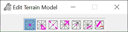
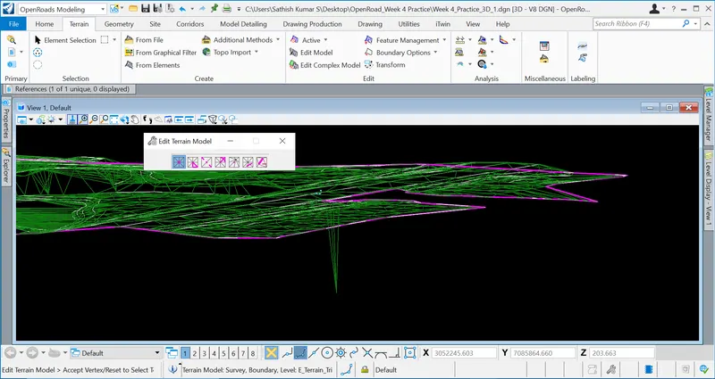
Click on the points of the triangles after selecting the Terrain Model (Vertices) to delete the terrain or triangulation
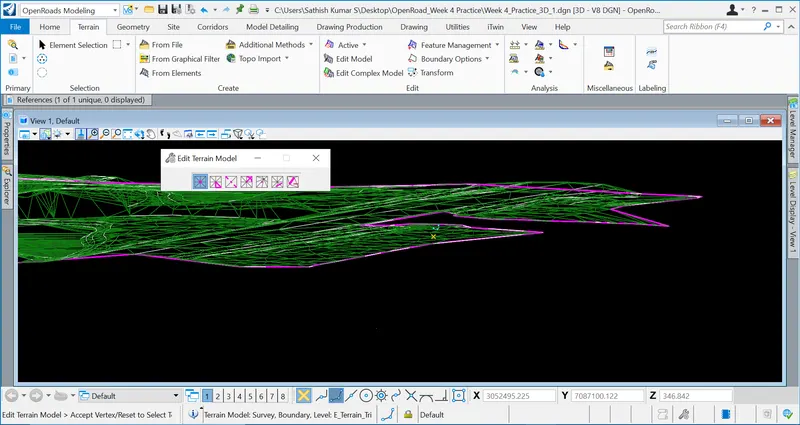
Delete Edge Triangle, Swap line, Insert Vertex, Move Vertex, Delete Triangles by line, Delete Feature.
Result & Conclusion
Thus, the created terrain model has been edited as shown above.
3. Annotate the contours with labels
Aim
To annotate the contours with labels
Steps & Procedure
Result & Conclusion
Thus, the contour has been annotated with lables.
4. Change the contour interval.
Aim
To change the contour interval
Steps & Procedure
The survey dtm file is imported from from file.
Openroads Modeling ⇒ Terrain ⇒ From File ⇒ Select File "Survey.dtm"
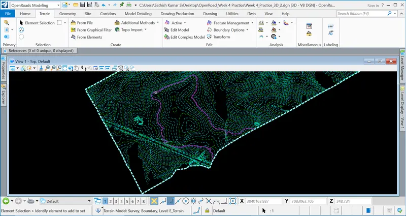
Select the imported file,
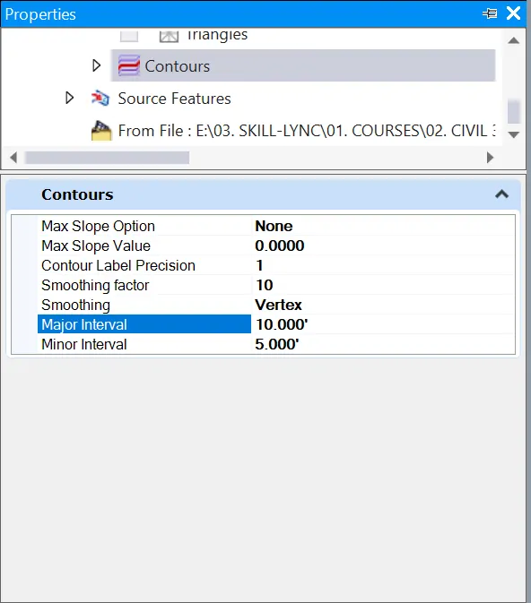
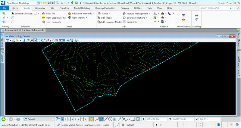
Properties ⇒ Terrain Model ⇒ Calculate Features ⇒ Contours ⇒ Major Interval (10.000') & Minor Interval (5.000')
Result & Conclusion
Thus, the interval of the contour has been changed.