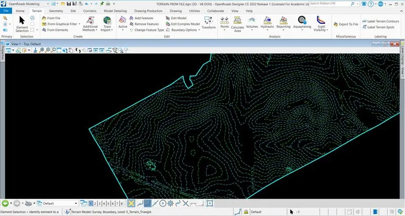
Week 4 Challenge
1. Create a terrain model by different methods –
- By Text interpolation
- By ASCII
2. Edit the terrain model created
3. Annotate the contours with labels
4. Change the contour interval.
Q-1 : (A)CREATE A TERRAIN BY TEXT INTERPOLATION :
Created a file named as " TERRAIN BY TEXT INTERPOLATION " with 3D SEED > Reference the file 3D_Survey Graphics.dgn file > Click on fit view > Open level display > On only E_DTM-CONTOURs MAJOR and E_DTM-CONTOURS-MINOR.
Click on additional methods > Create by text interpolation > Click on Terrain Filter Manager > Create Filter Groups (LINEAR FILTER) > Create Filter (LINEAR & TEXT) > In LINEAR ; Feature Type : Contour
; Element type : Line String ; Add and preview > In text ; Feature type : Contour ; Element Type : TEXT ; Add and Preview > In LINEAR FILTER ; Select Filter: LINEAR > Finish > Surface created.
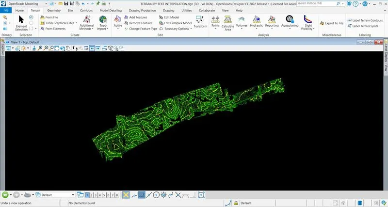
(B) CREATE A TERRAIN BY ASCII :
Create a file named as " TERRAIN BY ASCII " with 3D SEED > Click on Terrain > Additional method > Create terrain by ASCII file > Select PNEZD.txt file > Click on create new text import setting file > Set all the parameters which are given in the file > Save the file as PNEZD.xml file > Set all triangular options > Import.
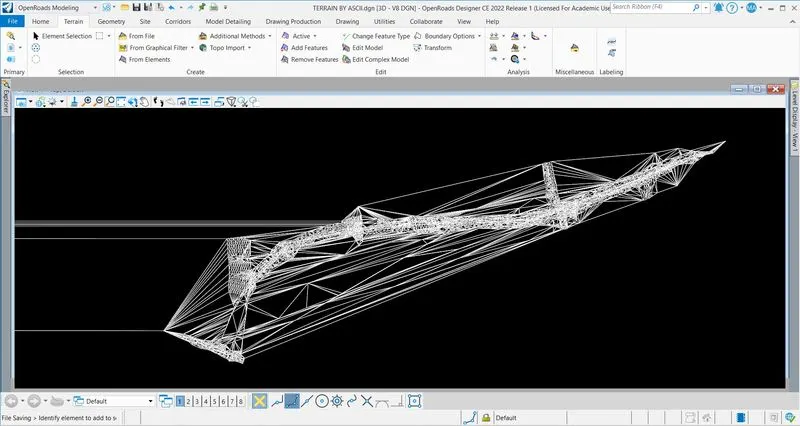
Q-2 : EDIT THE TERRAIN MODEL :
Open created by ASCII file > Click on Terrain > Click on Edit Model > Edit terrain model tool open > There are six different options present > According to condition : All six can be used.
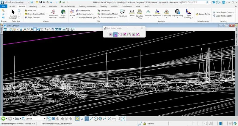
Q-3 : ANNOTATE THE CONTOUR :
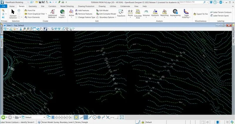
Open the file (FROM FILE) > Click on Terrain > Click on Lebel Terrain Contours > Label Terrain Contours tools open > Select the annotate model > Select the text alignment > Select the dimension style > Lock > Select the model > Draw the line > Annotation is installed.
Q-4 : CHANGE THE CONTOUR INTERVAL :
Open Terrain FROM FILE > Select the terrain model > Click on properties > Elements > Terrain Model : Survey > Calculated Features > Contours > Change Major Interval and Minor Interval.