Week 3 Challenge
1. Create a terrain model by different methods –
- From file
- By Graphical Filter
- By elements
2. Select the terrain model which you would be using for your entire design. (point to consider – dense triangulated, covering the area, no bad spots, etc.) with any one of the methods above to clear unwanted triangles, zero elevations points.
3. Export the terrain model to DTM, TIN, Land XML formats and save these in the Terrain folder of the data set.
4. Create a new 3D DGN and import the TIN, DTM XML from above.
*(For reference: Surface to Grid factor = 1.00:1.00012)
Q-1 : (A) CREATE A TERRAIN FROM FILE :
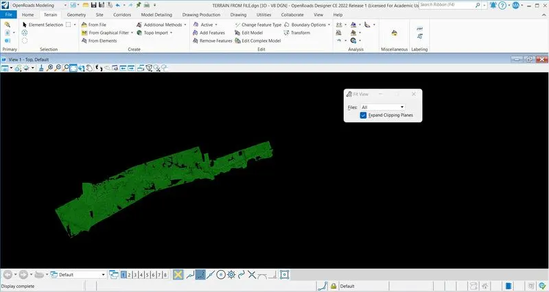
Create a file "TERRAIN FROM FILE" with 3D SEED > Click on Terrain bar > Click on "from file" > Select "Survey.dtm" file > Done > Import terrain model (s) open > Feature defination : Terrain\Existing\Existing Thematic Height > Triangulation options ; Import options : Import Contours > Cancel > Click on fit view.
(B) CREATE TERRAIN FROM GRAPHICAL FILTER :
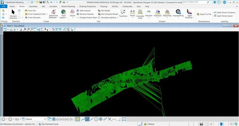
Created a file named as "TERRAIN FROM GRTAPHICAL FILTER" with 3D SEED > Click on terrain bar > Click on "from graphical filter" > Tool bar open > Click on Terrain Filter Manager > Create Filter Group as well as Filter > Come out from Tool bar.
Open references > Click on attach reference > Select 3D_Survey graphics.dgn > Open > Click on fit view.
Set the parameters in tool bar > Set the triangulation option > Set the feature > Click on cancel > Select the fit view > Surface created.
(C) CREATE TERRAIN FROM ELEMENTS :
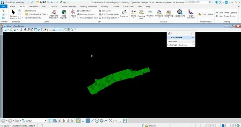
Created a file named as " TERRAIN FROM ELEMENTS" with 3D SEED > Click on attach tools > References > Click on attach references > Select 3D_Survey Graphics.dgn file > Open.
Click on Element Selection tab > Element Selection tool bar open > Click on element type > Click on line string > All line string are selected > Set the parameters and features > Left click on screen and surface created.
Q-2 : CLEAR UNWANTED TRIANGLES :
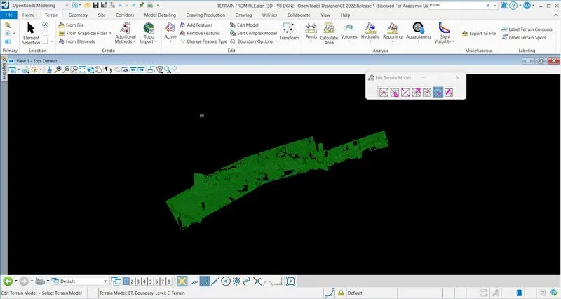
TERRAIN FROM FILE are selected > Click on Edit Model > Edit Terrain Model tool opens > With the options clear the unwanted triangles, zero elevation.
Q-3 : EXPORT THE FILE :
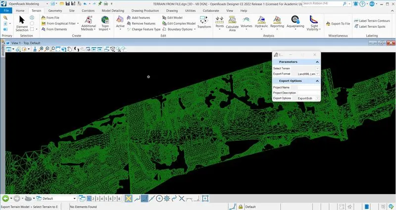
In TERRAIN FROM FILE > Click on terrain > Miscellaneous > Export to file (we have to export in 3 different types: DTM, TIN, Land xml file, so we will go one by one) > Select the parameters > Left click on screen > Save as Survey.dtm, Survey.tin and Survey.xml > Ok.
Q-4 : IMPORT THE FILE :
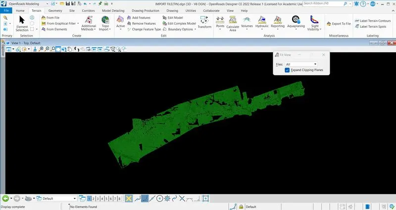
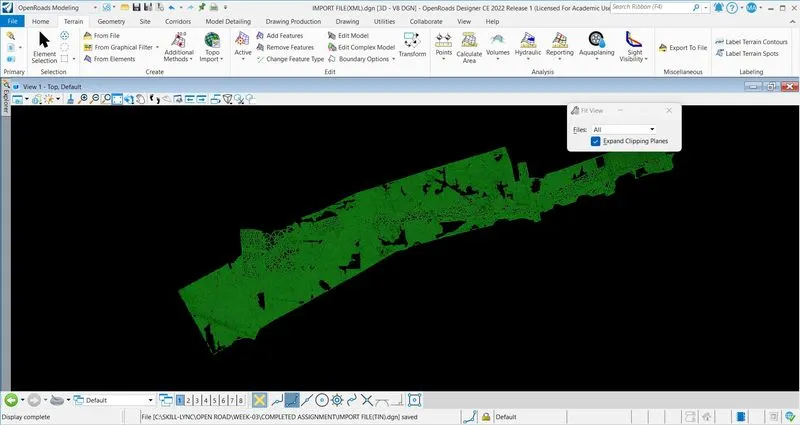
Create a file named as "IMPORT FILE" > Click on Terrain > From File > Select Survey.dtm file > Open > Import > File imported.
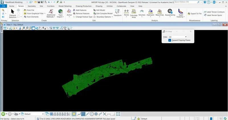
Repeat the process for .tin and .xml file.