Week 11 Challenge
1.Design Superelevation using Template for the mainline alignment and Assign it to the corridor?
2.Define Traget Aliasing and create another small alignment show the Target aliasing how it works on the ORD interface?
3.Create Parking lot as mentioned in course work videos?
4. Open the DGNLIB file. List out the names of civil cells present in that DGNLIB.
Q-1 : DESIGN SUPERELEVATION :
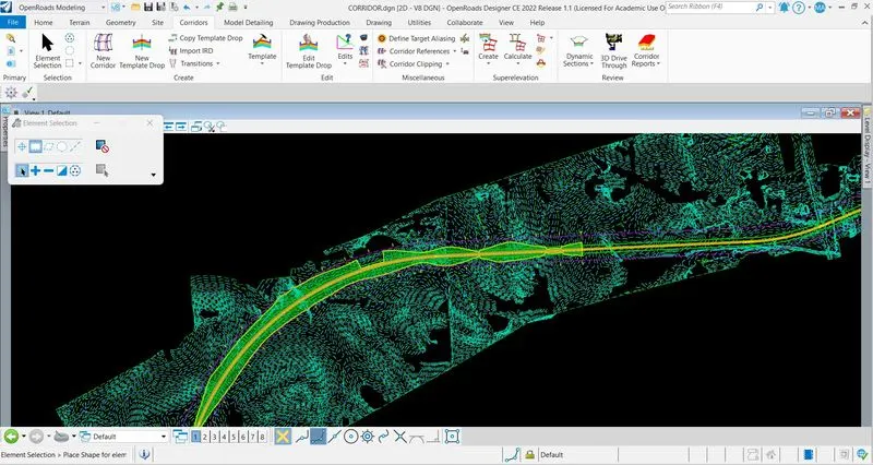
Create a file named as "SUPERELEVATION" with 2D SEED > Reference the Alignment file in which profile is active > Click on Corridor tab > Superelevatrion > Create Superelevation Sections > Set the parameters > Locate the Corridor or Alignment > Set the start station > Set the end station > Set the Minimum Tangent Length > Lane Creation Method Template > Section is created.
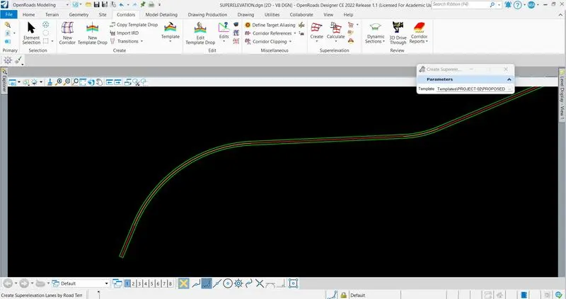
Create Superelevation Lanes by Road Template > Set the Template > Left click on screen > Superelevation Lanes is created.
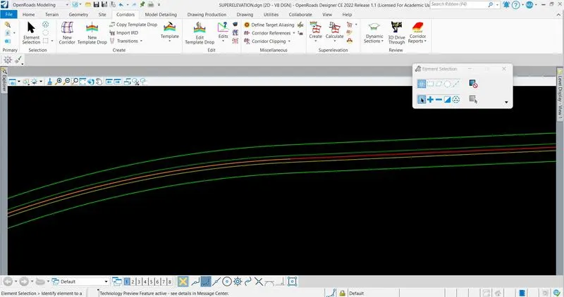
Click on Calculate > Calculate Superelevation > Set the parameters > Rules File Name : AASTHO_2018_imperial.xml > e Selection : 6% > L Selection : Speed Table > Design Speed : 50 mph > Pivot Method : Crown > Superelevation is calculated.
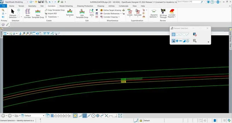
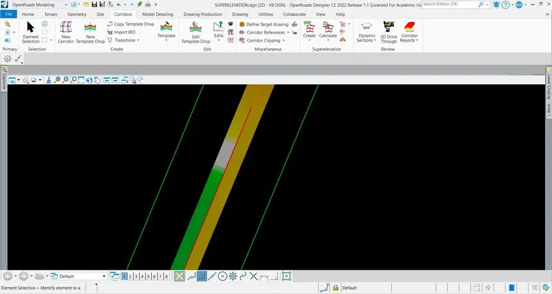
Click on Calculate > Assign to Corridor > Locate First Superelevation Section > Right click on screen > Locate the Corridor > Superelevation is assigned to corridor.
Q-2 : TARGET ALISING :
Create a line paralel to alignment in same terrrain > Open Profile Model > Select the alignment > Open Existing Ground Surface in another tab > Create the layout > Set the active > Click on Corridor tab > Select the Baseline > Corridor is created > Select the Template > Set the parameters > Corridor is created for line which is overlaping the alignment corridor.
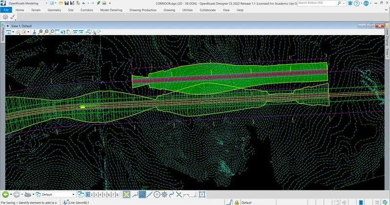
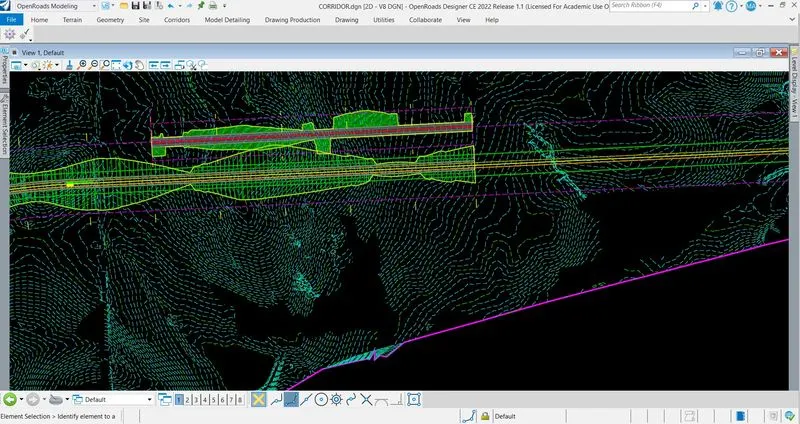
Click on Corridor tab > Click on Define Targeting Aliasing > Add the corridor in Aliases > Apply > Target Aliasing is done.
Q-3 : PARKING LOT :
Click on Drawing tab > Polygon Tools > Place Block > Place the block in the drawing where parking is required > Click on block > Hover on it > Add surface to profile > Locate Reference Surface > Right click to reset > Hover on line > Open Profile Model > Select or Open View on another tab > Create a layout in profile at Existing Ground Profile > Set the line and activate it.
Click on Terrain tab > Locate Element to add > Right click to reset > Set the Feature type > Set the Edge Method > Surface is created > Apply Surface Template > Locate Terrain Model > Set the External Clip Boundry > Pick the Template > Pick the data point > Template is set.
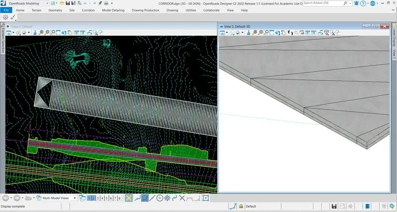
Click on Model Detailing > Locate Element to apply Template > Pick the Template > Set the start station > Set the end station > Select the side > Set the Exterior Corner Sweep Angle > Do left click > Prking lot is ready.
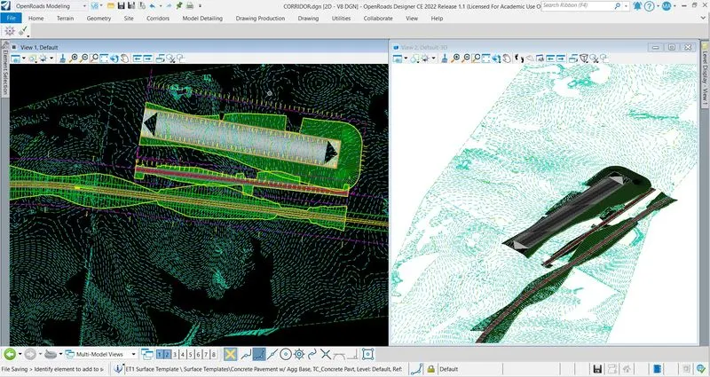
Q-4 : CIVIL CELLS :
Click on Model Detailing tab > Place Civil Cell > Prameters tools open > Click on dotted line > DGNLIB open.
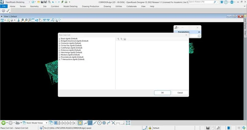
- Basin.dgnlib (Default)
a- Basin
- BridgeEmbankment.dgnlib (Default)
a- Bridge Embankment
- Connector.dgnlib (Default)
a- Conector - Urban
b- Connector - Rural
- Cul-de-Sac.dgnlib (Default)
a- Cul-de-Sac
- CurbRamps.dgnlib (Default)
a- Curb Ramp - Directional_L
b- Curb Ramp - Parallel - Landing
c- Curb Ramp - Directional_R
d- Curb Ramp - Perpendicular
e- Curb Ramp - Parallel_L
f- Curb Ramp - Parallel_R
- Entrances.dgnlib (Default)
a- Entrance Urban - Flared Entry
b- Entrance Urban - Varible Radii
c- Entrance Rural
d- Entrance Urban
- Interchange.dgnlib (Default)
a- Ramp - Entrance
b- Turn Lane - Entrance - Tapered
c- Turn Lane - Exit - Tapered
d- Ramp - Exit
- Medians.dgnlib (Default)
a- Median Turn Lane (Rural)
b- X-Over (Rural) (Simple Curve)
c- X-Over (Urban) (Simple Curve)
d- Median Turn Lane (Urban)
e- X- Over (Urban) (3-Center)
f- X-Over (Rural) (3-Center)
- Roundabouts.dgnlib (Default)
a- Splitter Median w-Curb Cut Ramp
b- Curb Cut Ramp
c- Ramp (Deflection LT)
d- Ramp (Deflection RT)
e- Approach (Deflection RT)
f- Approach (Deflection LT)
g- Approach (Basic)
h- Rotary (Placed on Alignment)
i- Bypass Lane
j- Splitter Median
k- Splitter Island
l- Rotary (Placed on Shape)
m- Splitter Island w-Curb Cut Ramp
- T- Intersections.dgnlib (Default)
a- Turn Lane - Urban Entrance
b- Basic T (Urban) - Overlay & Widen
c- Basic T (Rural) - Overlay & Widen
d- Median Nose
e- Median Turn Lane (2D)
f- Basic T (Urban)
g- Island Single
h- Basic T (Rural)
i- Turn Lane - Rural Exit
j- Turn Lane - Rural Entrance
k- Island LT
l- Island RT
m- Island LT (without Lane Line Reference)
n- Island RT (without Lane Line Reference)
o- Turn Lane - Urban Exit