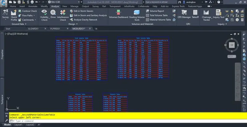
Project - A project on design of road from a given topographic data
The given reference plan and topo survey data is not matched. I followed the survey data and did the preliminary design things.
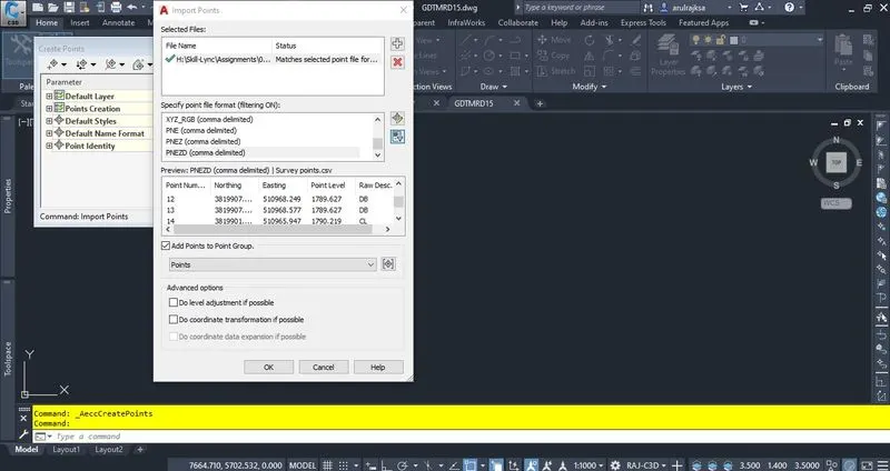
1. Imported given survey points data into drawings and created the surface as shown below.
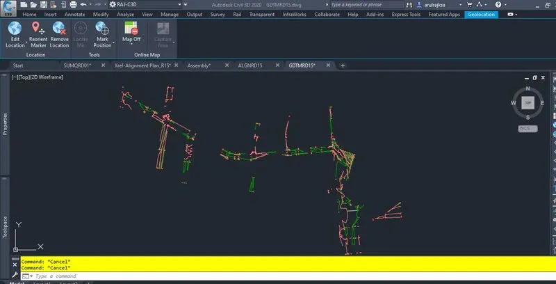
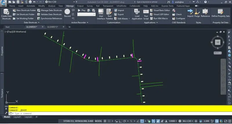
2. Created an alignment usign IRC standard with super elevation calculated.
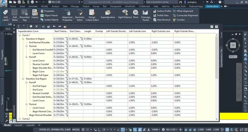
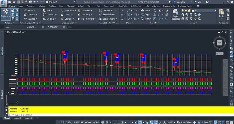
3. Created a vertical curve design profile with following standards.
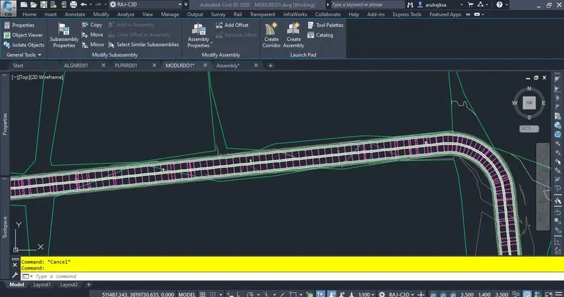
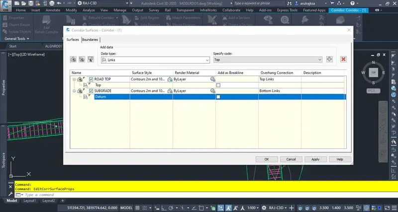
4. Corridor created with reference to require typical section asemblies details. Corridor surfaces were created later on for quantities calculations.
5. Calculated earthworks and pavement quantities using analyze menu.