 Free · 3 lessons · no payment
Designing a Roadway Project Using InfraWorks, Civil 3D, and Map 3D: 3 free lessons
Three free lessons from Skill-Lync's Designing a Roadway Project Using InfraWorks, Civil 3D, and Map 3D course. They cover design standards, GIS and LiDAR data, and the constraints of a dirt road reconstruction. The instructor then builds an InfraWorks model from terrain, imagery and GIS layers and lays out a preliminary road alignment.
Last updated 16 Nov 2026 · 3 free lessons (1 h 35 min) · full course: 48 lessons (25 h 23 min), paid · ₹40,000
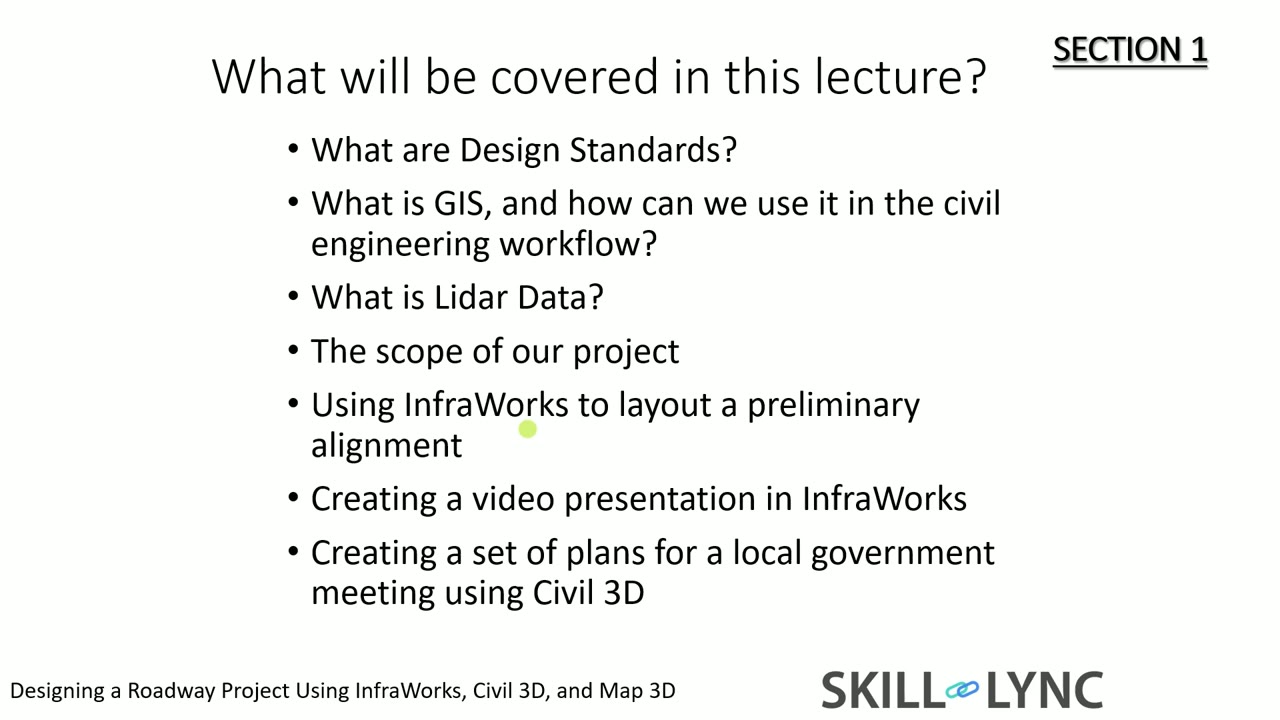 Free lesson 1 · 26 minRoad Design Standards, GIS Data and Project Constraints
What will you learn in the free Designing a Roadway Project Using InfraWorks, Civil 3D, and Map 3D lessons?
- How design standards and GIS data guide road layout
- Building an InfraWorks model from LiDAR and imagery
- Importing parcels, utility poles, wetlands and floodplain
- Laying out an alignment around a minimum radius
Free lessons you can watch now
- Lesson 1 · 26 minRoad Design Standards, GIS Data and Project ConstraintsThe instructor explains design standards, with examples from Florida and the Indian Roads Congress, then shows GIS data in QGIS and Google Earth. The lesson defines LiDAR and walks through a school-bus road reconstruction, covering a deficient curve, wetlands, floodplain, utility poles and ponds.
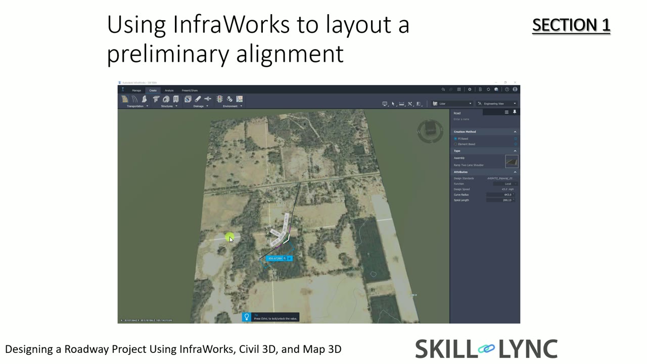 Lesson 2 · 32 minBuilding an InfraWorks Model from LiDAR, Imagery and GIS DataThe instructor creates an InfraWorks model with a coordinate system, then drags in LiDAR elevation files, SID aerial imagery, parcels, utility poles, a LandXML phase one road, wetlands and a floodplain KML. Contour intervals, styles and the home view are set, and the data is used to judge the alignment.
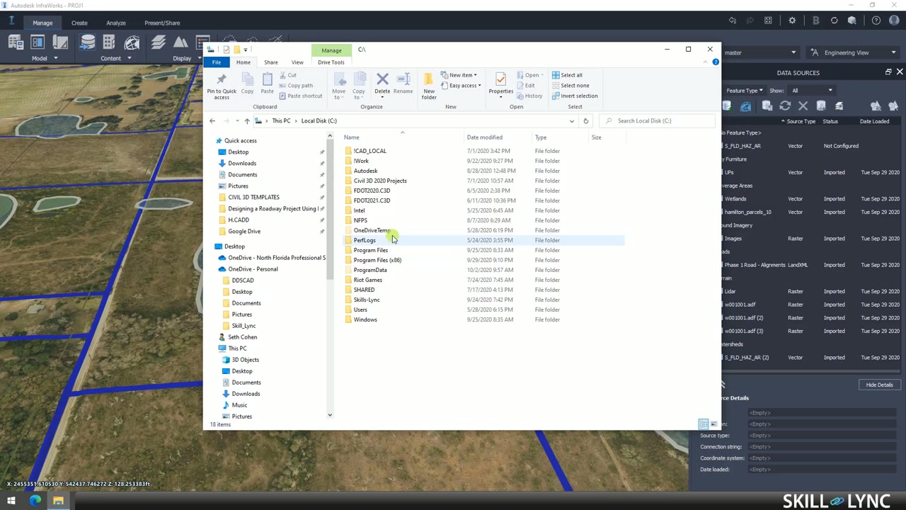 Lesson 3 · 37 minLaying Out a Preliminary Road Alignment in InfraWorksThe instructor lays out a two-lane component road in InfraWorks by placing points of intersection, then adds grass shoulders, 4 to 1 slopes and ditches. Curves are set to the 575 minimum radius for a 10 percent maximum superelevation, and a spreadsheet checks that the superelevation runout fits between curves.
Which lessons of Designing a Roadway Project Using InfraWorks, Civil 3D, and Map 3D are free?
The first 3 lessons are free on Grow by Skill-Lync: 1 h 35 min of video from Skill-Lync's Designing a Roadway Project Using InfraWorks, Civil 3D, and Map 3D course that you can watch here at no cost: leave your name and phone number once and they play (as of 16 Nov 2026). The full course is paid (₹40,000); its other 45 lessons are listed in the outline below so you can see what each one covers.
How long is the Designing a Roadway Project Using InfraWorks, Civil 3D, and Map 3D course?
The full course has 48 lessons and 25 h 23 min of recorded video, plus the projects and assignments that come with enrolment. The free lessons alone take about 1 h 35 min, so you can finish them in an evening and decide whether to continue.
What comes after the free lessons?
Lesson 4 onwards is in the paid Designing a Roadway Project Using InfraWorks, Civil 3D, and Map 3D course on Skill-Lync, with mentor support and a certificate. For a career in Civil & structural, the Post Graduate Program in Infrastructure - Engineering Design and Project Management goes further with industry projects and placement support.