Week 7 Challenge
Question-1:
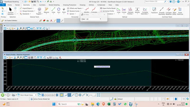
1. Open the profile model for the innermost shape. Create existing ground profile.
Answer:
Attach the terrain file as reference with live nesting depth of 1.
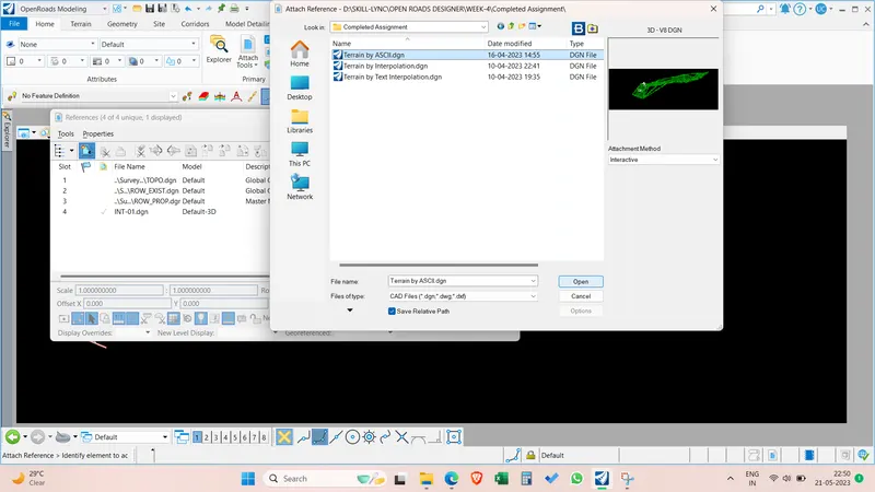
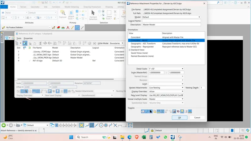
Select the open profile model and select the alignment we have created in last week.
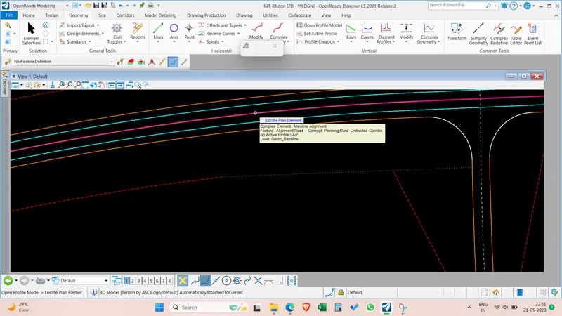
Select the terrain the set as active terrain model. and open the profile view and do a fit view the existing ground profile is created.
Question-2:
1. Design the proposed profile for the existing ground & one more Design profile at one constant elevation?
Answer:
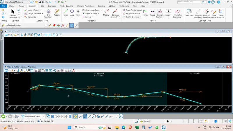
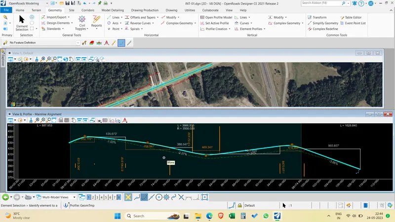
After the profile view is opened and existing ground profile is created. select the complex geometry by PI to create the profile. set the feature definition as geom temp and start the profile with starting with a PI point at start and place PIs wherever a profile gradient change or curve is required and after finishing the line. Do a data point by right clicking.
Now select the vertical curves by using circular curves between the elements. Give a suitable and appropriate curve radius and curve length. After placing all the curves . Set feature definition as Rural undivided carraigeway and Give a name to the profile and select the complex geometry by elements and start selecting the profile elements and accept the complex. Vertical profile alignment is creates with all civil rules.
Create another profile with same elevation with zero gradient.
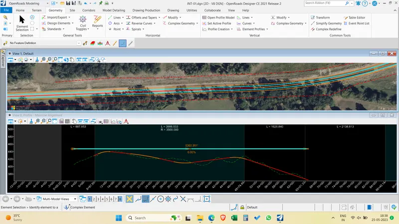
3. Change the designed profiles for all the shapes with constant or variable slopes of desired values.(Using civil rules)
The designed profile is changed by manually changing the values of curve radius and length and PI stationing and gradients and length of tangents.