Week 2 Challenge
QUESTION-1:
1. What are workspaces and worksets? List Civil specific variables (min. 5). Where is the workspaces saved on computer (default location).
ANSWER TO Q01:
1. Workspaces are the set of standards of a particular country or state or code used while designing the highway like AASTHO, DOTs , UK, AUSTROADS, IRC etc. Workset is the particular project data file containing a structured file folder data with the standards to be used for a partucular project.
Workspaces are saved in C drive in the Bentley program folder/ configuration / Workspaces.
QUESTION-2:
What are feature definitions? What is broader classification of feature definition types.
ANSWER TO Q02:
Feature definition is used to control the view, display,Name, colour,style of a feature by modifying how we wanted the feature to interact with model.
Different feature definitions are classified into:
Alignment
Terrian
Corridor
Super elevation
Linear template
Surface template
Linear
Point
Mesh
QUESTION-3:
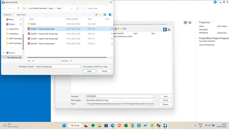
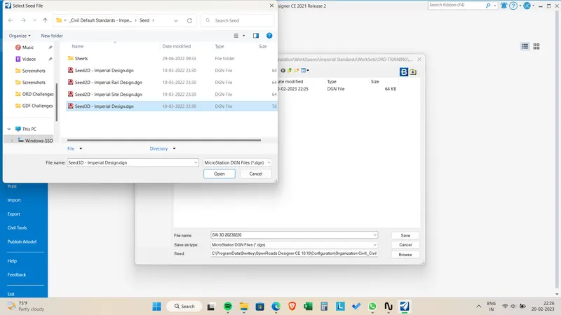
Create a dgn file with 2D imperial seed file and 3D imperial seed file. Save it in project data folder, creating new folder named DGN from SEED.
ANSWER TO Q03:
QUESTION-4:
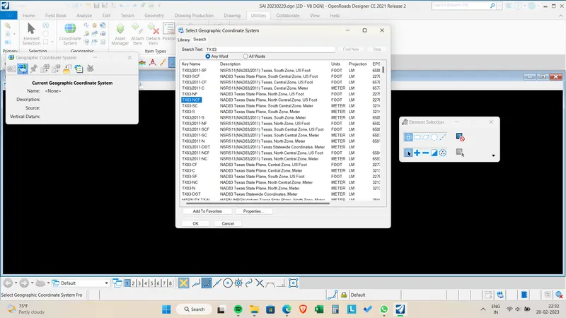
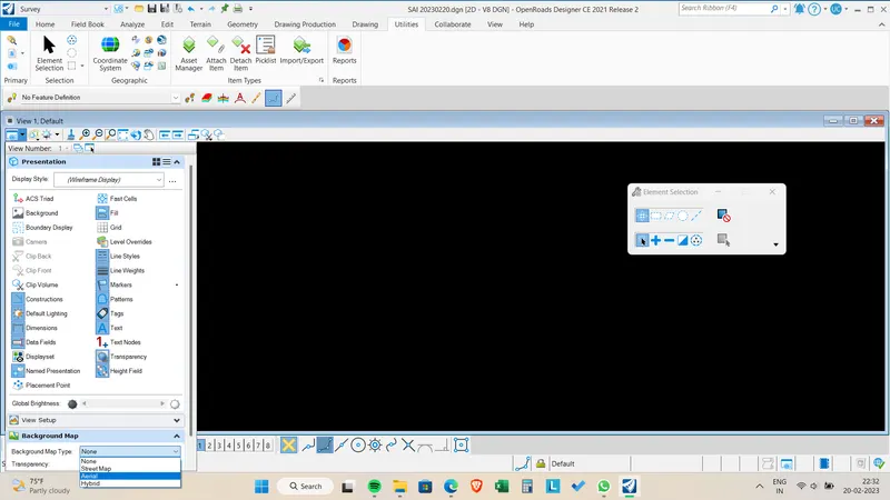
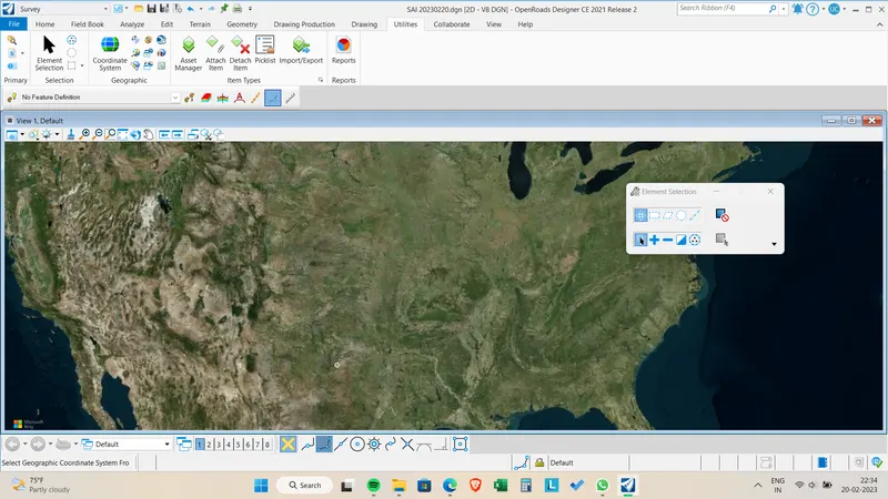
Set geographic coordinate system to TX-83, North Central zone, US survey foot. Turn on the background imagery. Save this file with save settings
ANSWER TO Q04:
QUESTION-5:
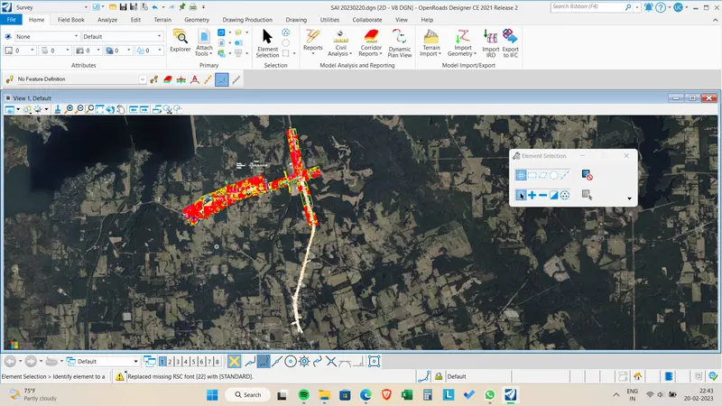
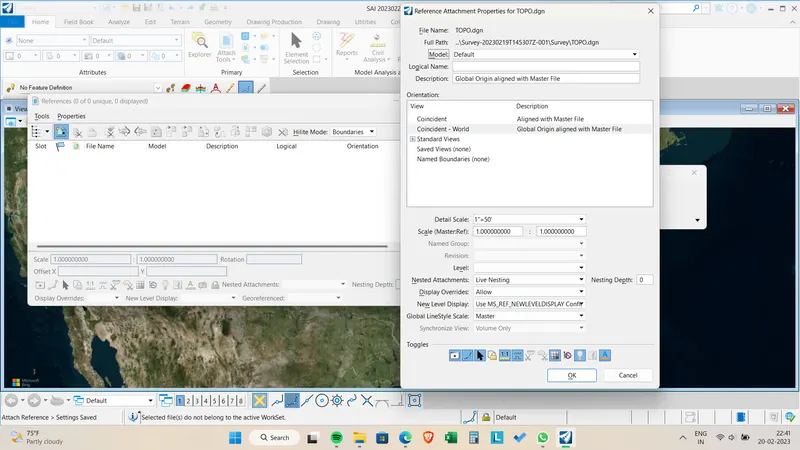
Attach the survey file from SURVEY folder to the newly created 2D dgn in above #3.
ANSWER TO Q05:
click the attach tools and select references > Select the survey file from the survey folder > Adjust the scale to 1:100012 and click ok.
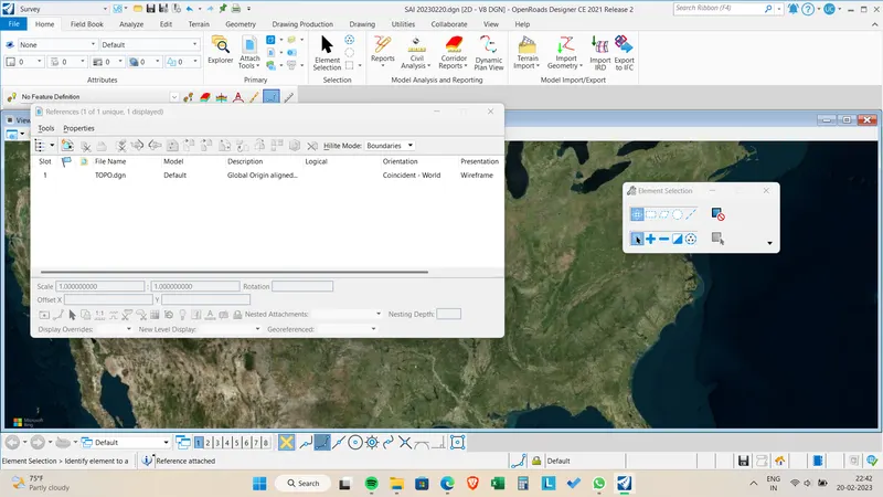
Survey file is attached to your DGN file.