Week 4 Challenge
Question No-1:
1. Create a terrain model by different methods –
- By Text interpolation
- By ASCII
Answer to Q1:
Creating the terrain by text interpolation :
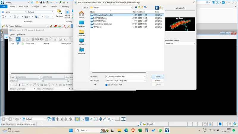
Create a new file and attach 3D survey graphics as reference
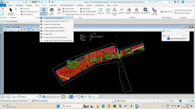
Click additional methods > Terrain by text interpolation > filter manager
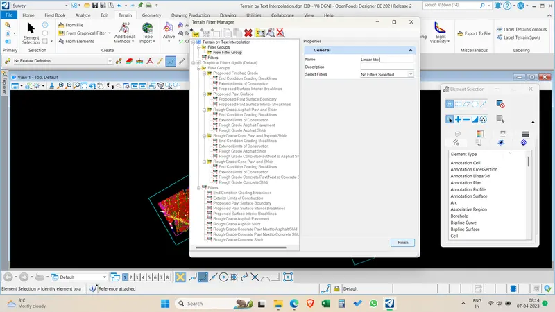
Create Filter group > Name it Linear filters
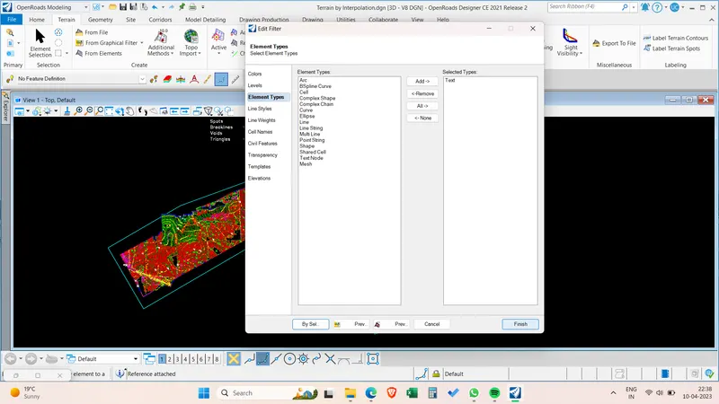
Create Filters > Text > Spots > Edit filter > Element selection > Text Add > By selection > Finish
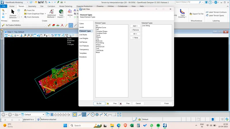
Create Filters > Contours > Contours > Edit filter > Element selection > Line string > By selection > Finish
Add contour filter in the linear filter group.
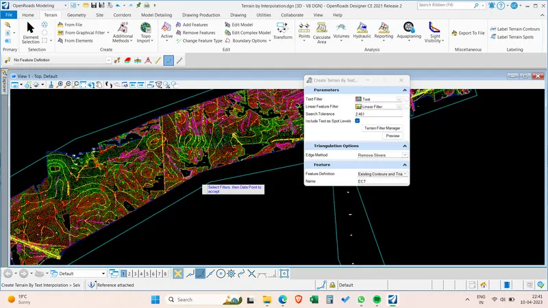
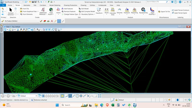
Create the terrain by clicking the data point and terrain is created by using text interpolation.
Creating the terrain by ASCII :
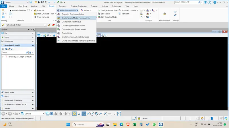
Select the Create terrian model from ASCII file from additional methods
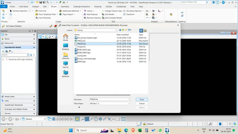
Browse and select PNEZ.txt File from survey data dowloaded from dashboard
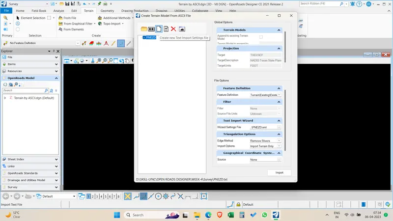
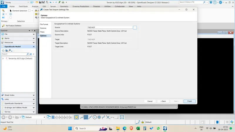
Create a new text import settings file
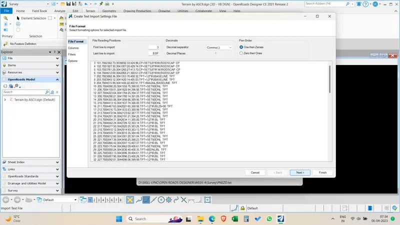
Select Comma as decimal seperator and start from column 3 in file format
Select the coordinate system.
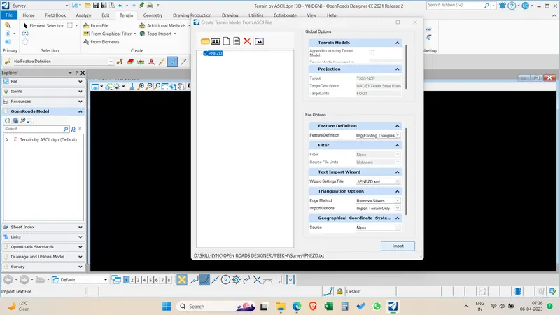
Select Existing traingles > RemoveSlivers > Import terrain only > Click on import.
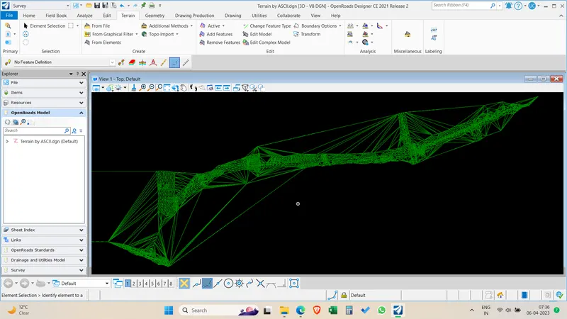
Terrain is created by using ASCII File survey data
Question-2:
2. Edit the terrain model created
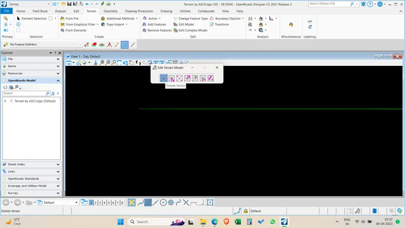
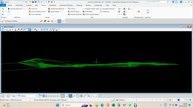
Terrain is created but it has zero values and other Values which are not correct .Hence we need to correct the survey data by editing it.In Terrrain Tab > Click Edit model > Select Delete vertex and delete the vertex far away from original survey points.
Recreate terrain model again by using the filter in create text import settings by Excluding the default text contained values in the input file. These points with zero values will be excluded in the terrain creation. Now the terrain has not errors and corrected.
Question-3:
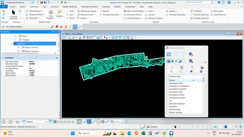
3. Annotate the contours with labels
Go to terrain > Select Labelling the terrain contours > Select the All contours > Text alignment as UP Slope > Style as Terrain contours.
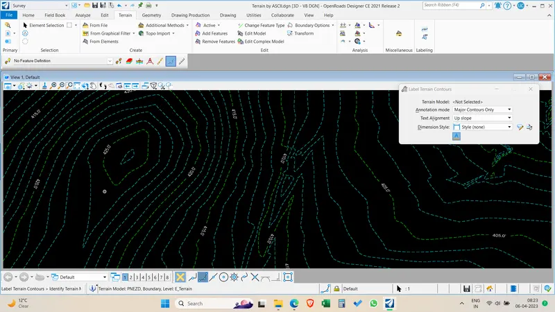
Click and draw a line across the contours to get the contour labels.
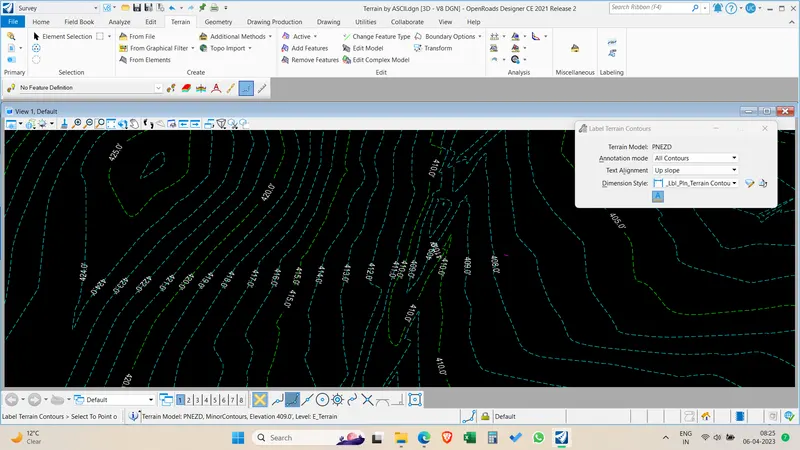
Change the contoour interval in the calculated features > Select contours > Edit the contour intervals of major and minor contours.