Week 4 Challenge
1. Create a terrain model by different methods –
- By Graphical Filter
- By text interpolation
- By elements
2. Edit the terrain model created
3. Annotate the contours with labels
4. Change the contour interval.
1. Create a terrain model by different methods –
- By Graphical Filter
- By text interpolation
- By elements
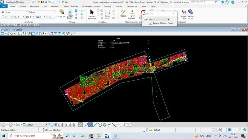
- By Graphical Filter:
- Create new3D seed file by naming "terrain by graphical filter"
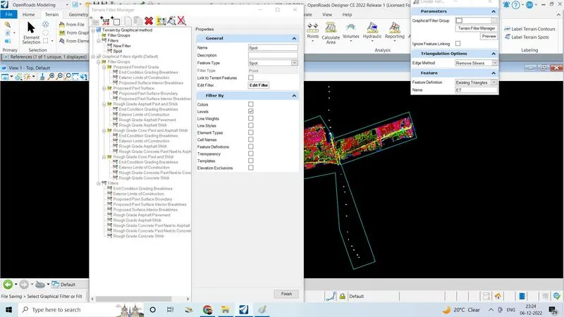
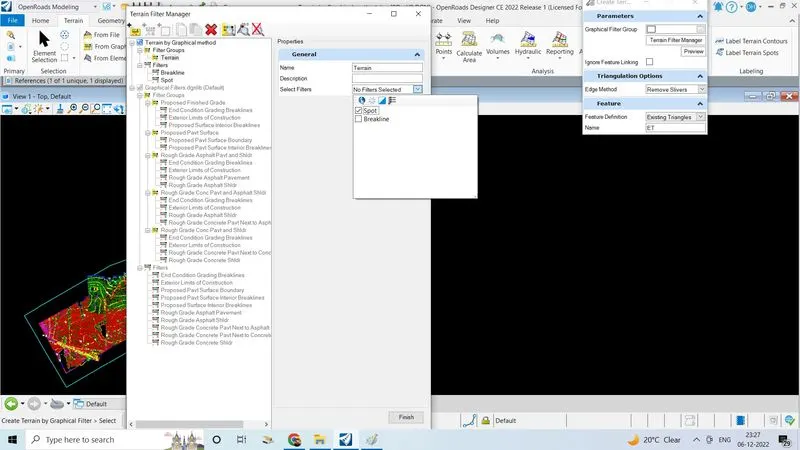
- Click on terrain filter manager
- Create new filter group and filters
- Give name for filter is spot and breaklines
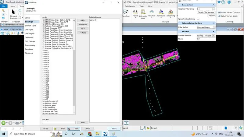
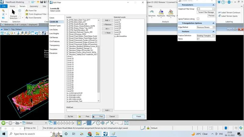
- First set for spot,click on the edit filter
- Add the levels as fallows which is given by the company
- Click finish
- Next do same procedure for breakline
- Add spotfilter to the terrain filter group
- click on finish
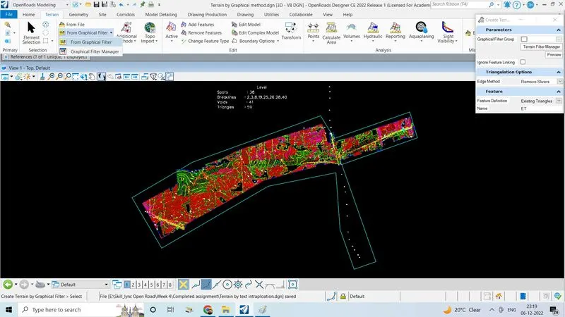
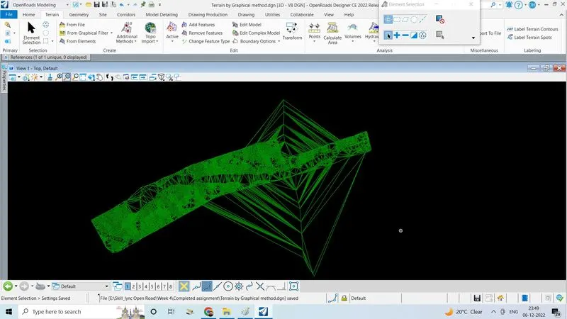
- Go graphical filter select edge method as remove silver, feature definition,existing triangles
2.By text interpolation
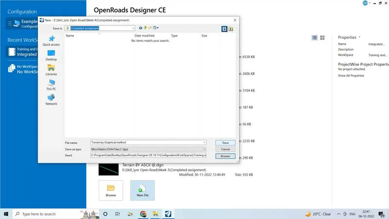
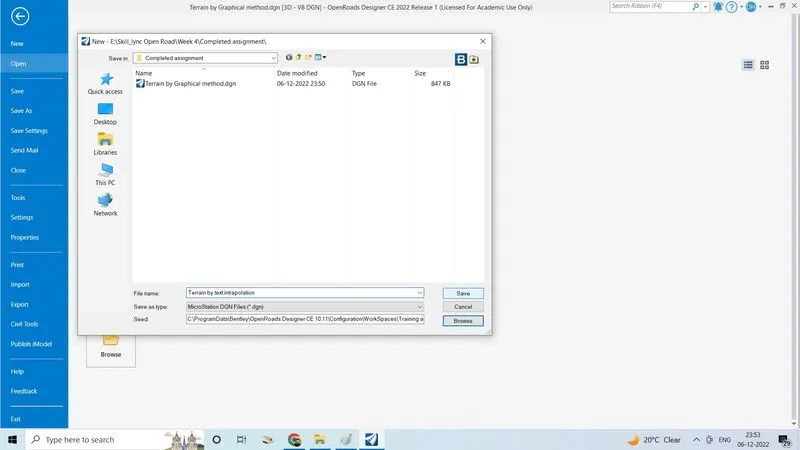
- Create new 3D seed file and set the name terrain by text interpolution, click save to open file
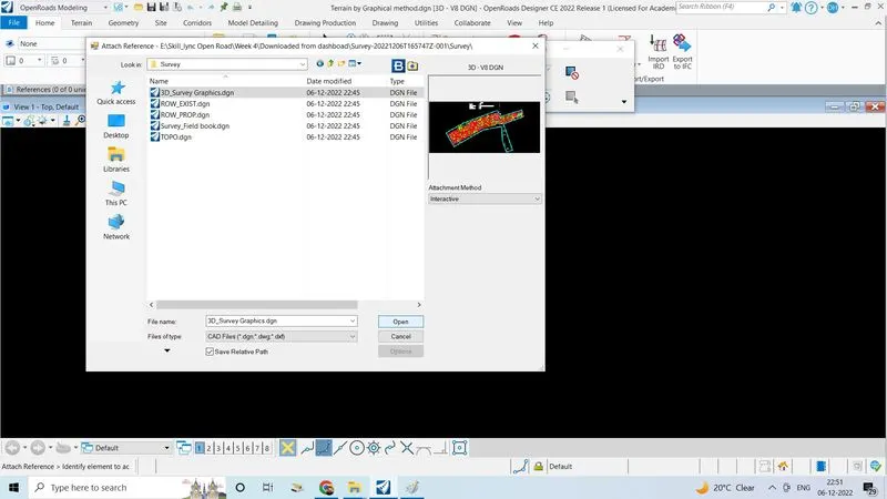
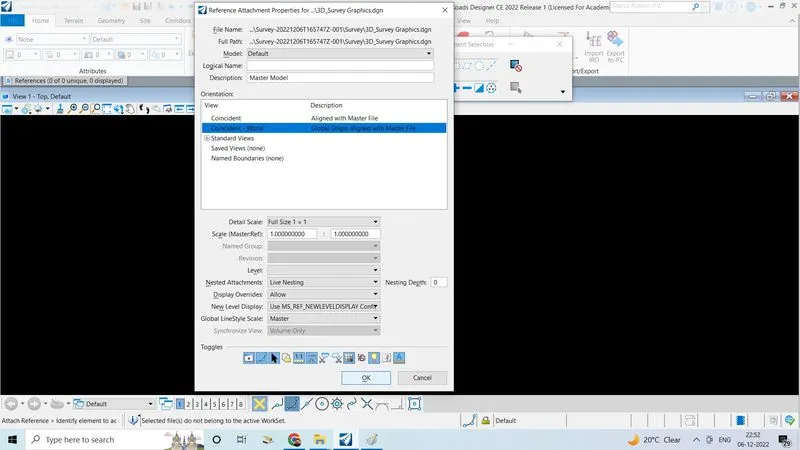
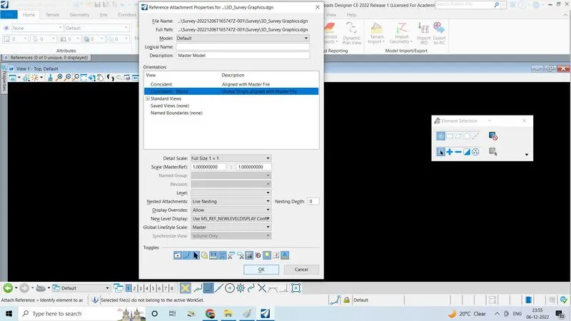
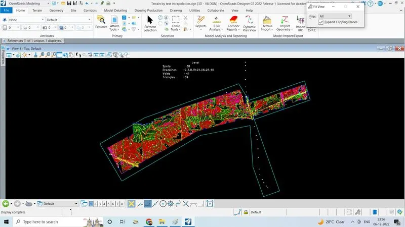
- Go to home tabe, click on reference select the 3D survey graphics with interactive attachment click open,click on fit view
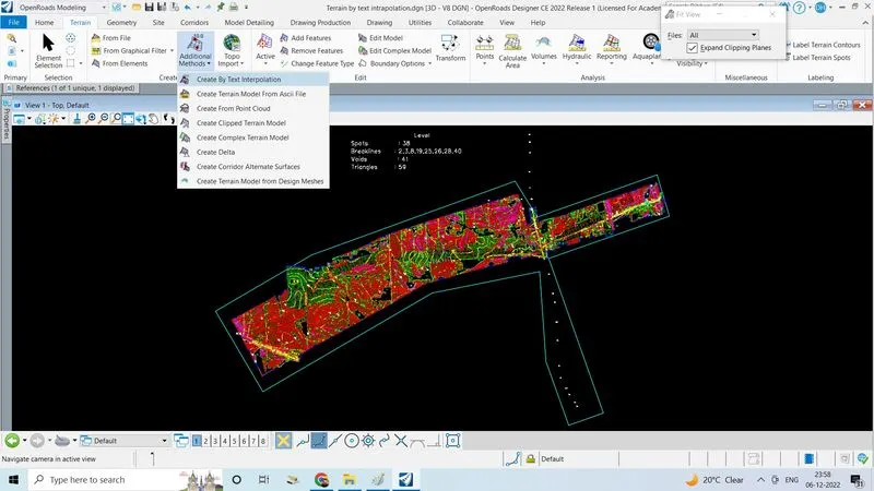
- Go to terrain tab click on additional method in that click create by text interpolution
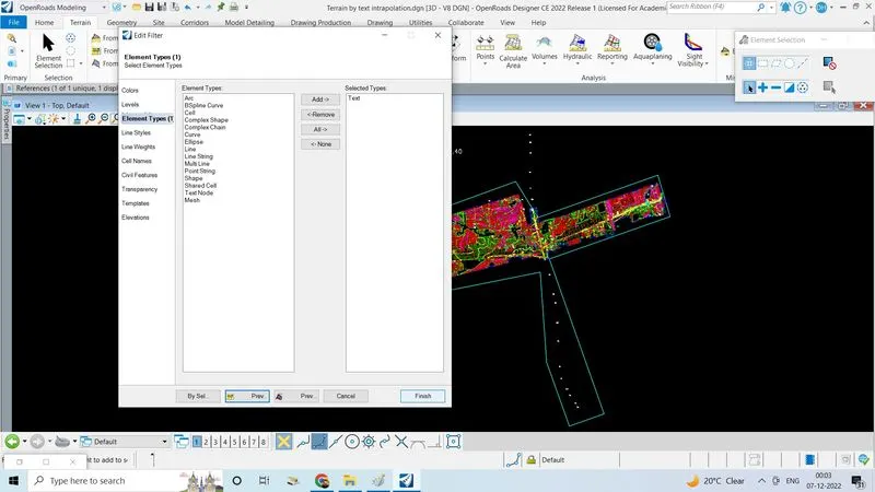
- Click on terrain filter manager
- Create text filter using element type as text feature type as contour
- Create line filter using elements type line string feature type as contour
- Create new filter group as line filter only
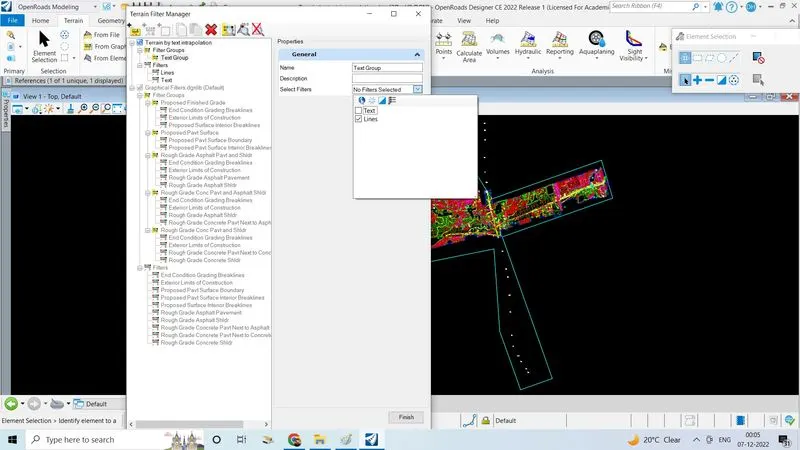
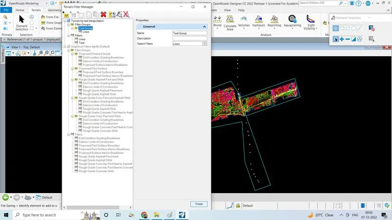
3.By elements:
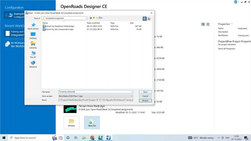
- Open a new file with 3D seedfile,give a name by element,click on save
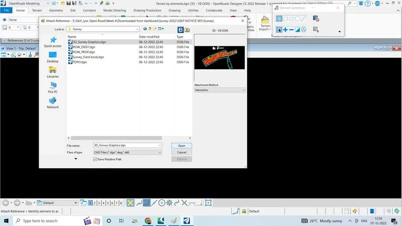
- Go to home tab click on attach tools and click on referances
- Select 3D survey graphics with interactive attachment method
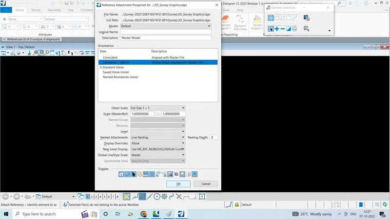
- Click open and set the details as fallows
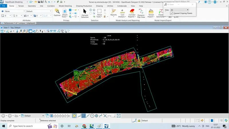
- Click on fit view to view the file
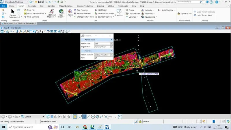
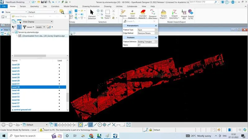
- Go to terrain tab click on from element
- Set feature type as spot
- Set edge method as remove silvers
- Feature defintion as existing triangles
- Go to home tab and click on level display
- Click on the reference file
- Do right click and click on all off
- Select layer 38 which is spots
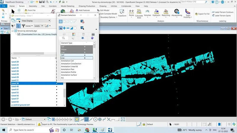
- Go to element selection by layer and click on line to select all spots
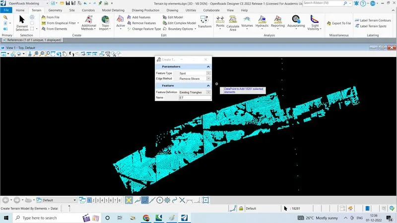
- We can see 18281 spots got selected
- Right click to reset
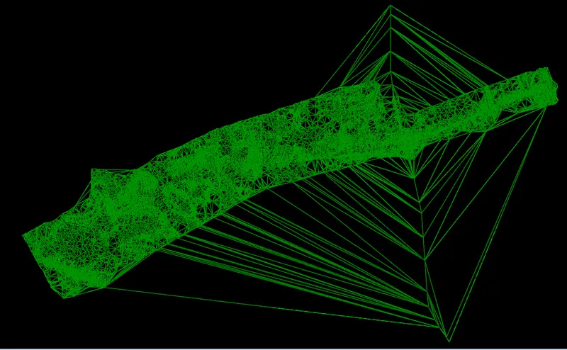
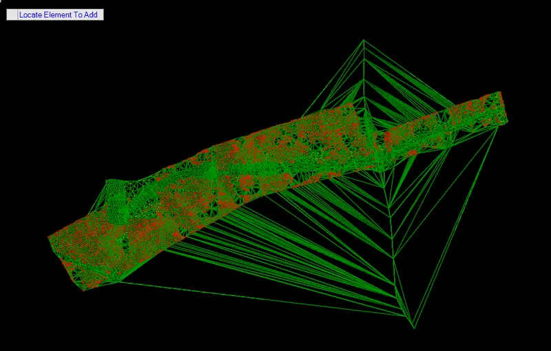
- The resulting traingles are as follows
2. Edit the terrain model created
- To edit the terrain TIN network
- Editing is the terrain model is to remove the spots which are at unusual elevation which create unnecessary triangles and surface
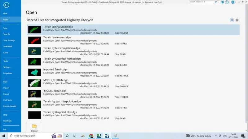
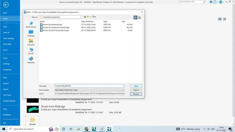
- Create a new 3D seed file, give name as terrain editing model click on save
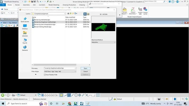
- Go to terrain tab click on attach tools, click on references select attach reference
- Select the created file
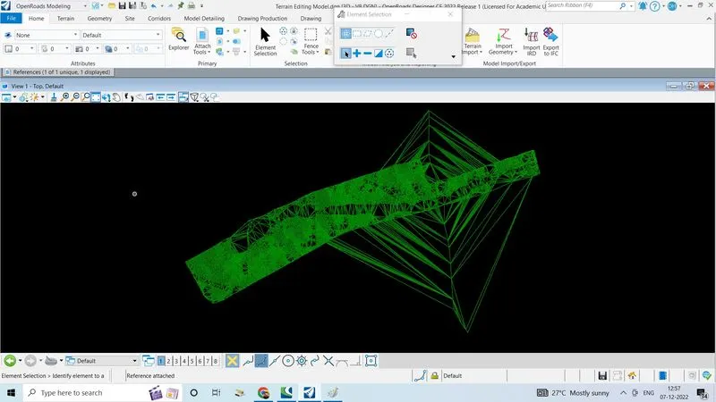
- Select the terrain by graphical method which is created previous click on open, click on fit view to view
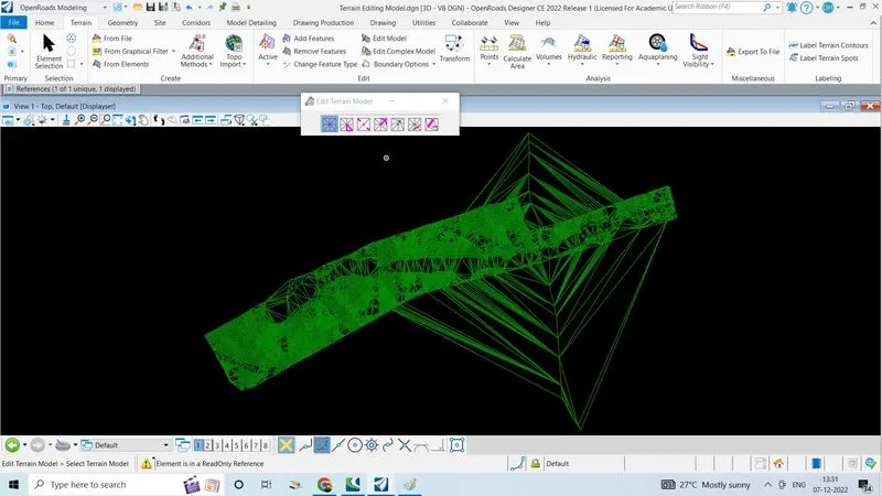
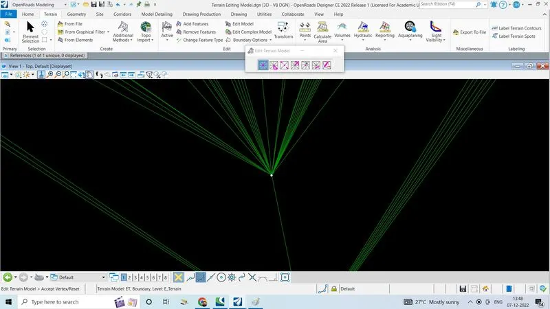
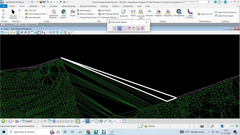
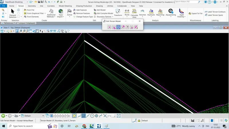
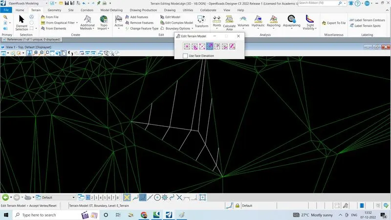
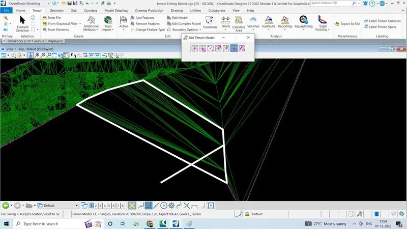
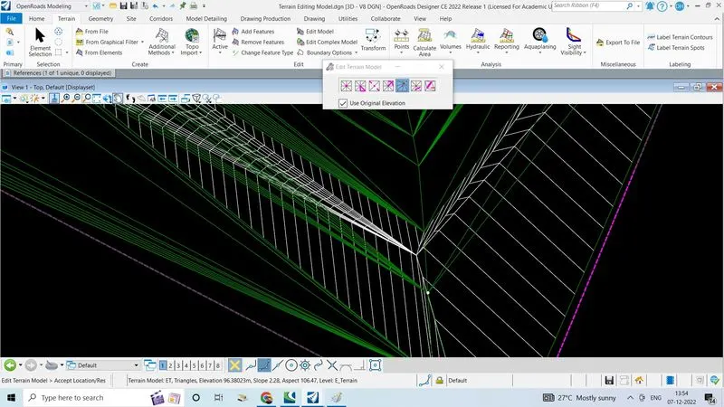
- Use various options and delete unwanted spots and triangle
- 1.Remove spot:Hover over the spots untile a wight spot is visible and click tp delete
- 2.Delete edge traingle: Hover over terrain, unwanted edge triangle is highleted and click to delete
- 3.Swap triangle side: Select the traingle side to swap
- 4.Add vertex: hover over the area where a new vertex is needed and select the spot
- 5.Move vertex canbe used to move the vertex
- 6.Delete triangle line is used to delete the unwanted lines of terrain created using a line drawn a specific driection
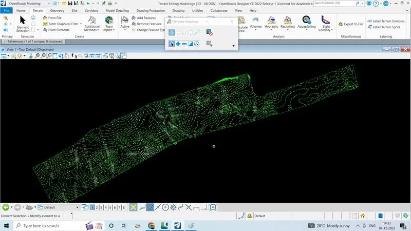
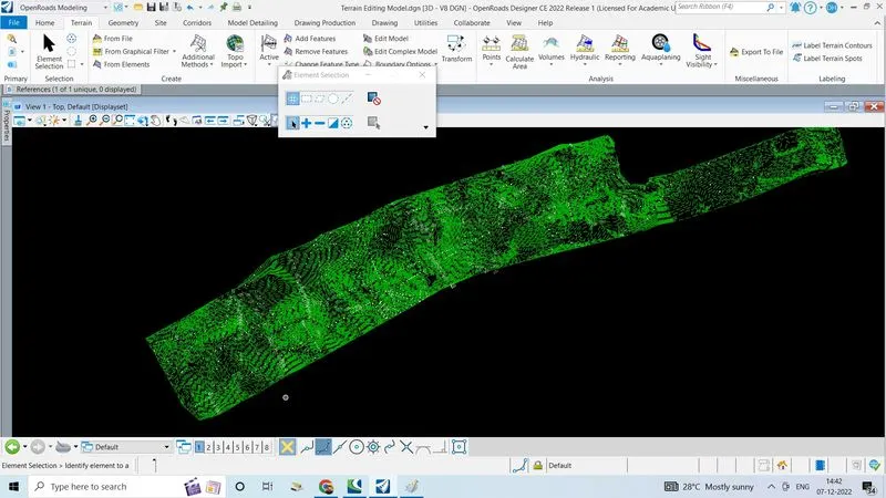
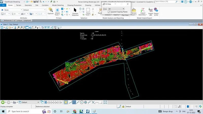
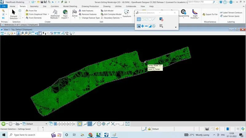
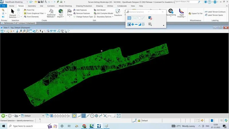
- 7.After removing all the unwanted spot and traingle the terrain model is as fallows
3. Annotate the contours with labels
- To annotate the contours with lables
- countors can be labled along given line in open roads using"labeling terrain contours" in terrain tab
- Open a terrain model which is created
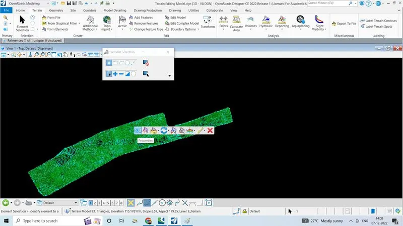
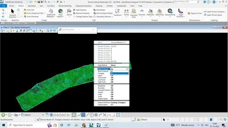
- Double click on the terrain model, click on properties
- Click turn on on major and minor contours on
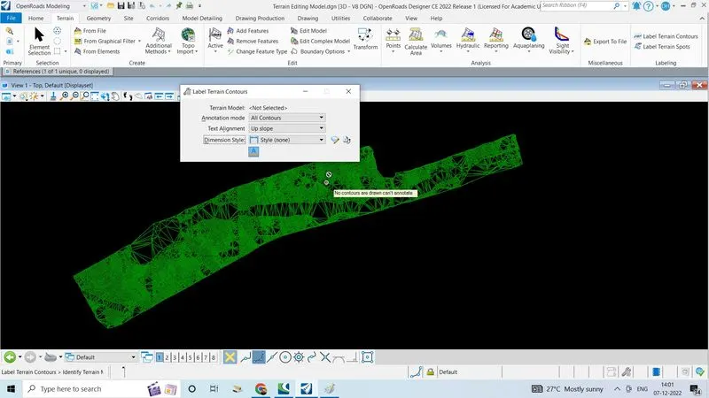
- Go to terrain tab click on label terrain contours
- Set all following data, select the terrain model
- Select annotating mode all contours
- Text alignment as follow line
- Dimension style as"label pin alignment name"
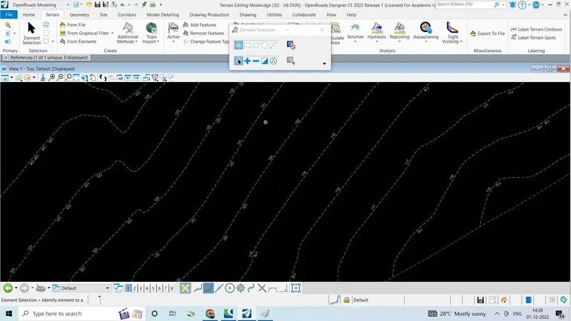
4. Change the contour interval.
- To change the contors interval
- Open the edited terrain model created above
- Double click on the terrain model to view properties of the terrain
- Click on properties
- Click on terrain model ET
- Select the calculated features
- Click on contours
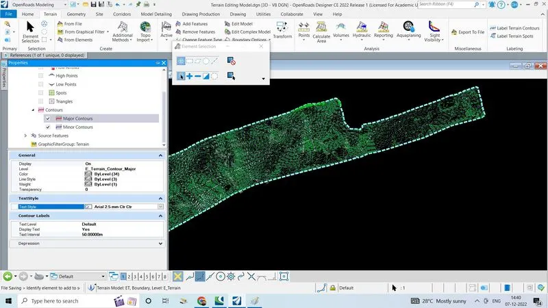
- Click on the major contours
- Give the major interval as '20'
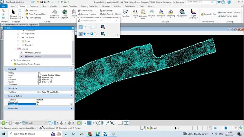
- Click on the minor contours
- Give the minor interval as '5'