Project 2
Project 2
Computation of flood levels for Brahmaputra river or any major river in your area.
Conditions
- Consider minimum of 10km river reach
- Consider all inline and lateral structures
- Use RAS mapper
- For flow calculation use any one method as per syllabus
- Consider both steady and unsteady flow condition
- Compare results with existing flood levels for specific river segment
Tools used:
HEC-RAS
Alos Palsar DEM of 12.5m resolution
Discharge data of chembarambakam reservoir in 2015 over adayar river.
Study area:
Adayar river channel in Chennai district
Procedure:
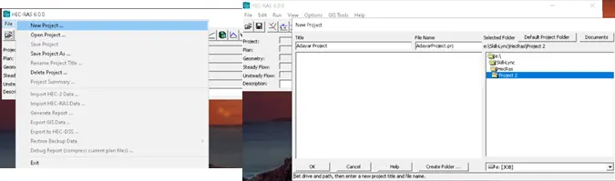
Step 1:
New project is created to model
Step 2:
From the selected river, Using DEM data from ALASKA SATELLITE FACILITY is done.

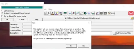
Step 3:
Change the unit system
Step 4:
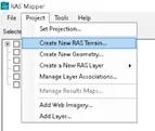
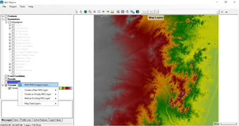
Click on Ras mapper
Add terrain data (Dem of your river)
Click no and locate the DEM data in your storage
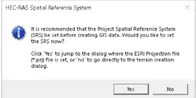
Click yes to set CRS of DEM
The DEM data gets added in mapper window
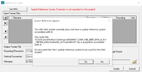
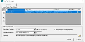
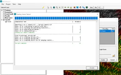
Step 5:
Open the geometric data view and save geometric data.
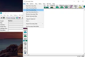
Step 6:
Add web imagery for referencing the DEM data and create contour intervals
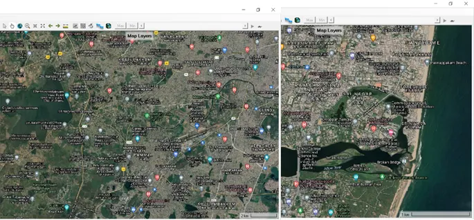
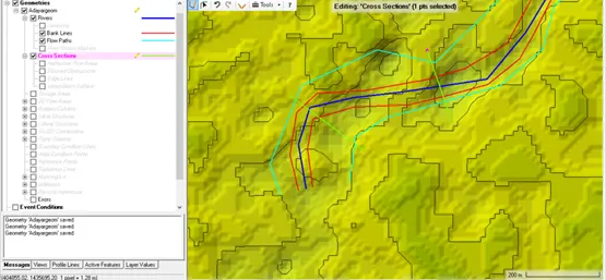
Using Ras Mapper, River, Bank lines, Flow paths and cross sections are marked
Step 7:
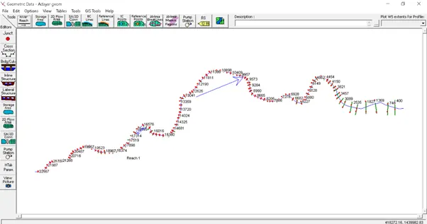
Geometric Data editor in HEC RAS is opened to visualize the data and correction of errors.
Step 8:
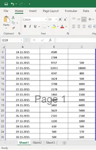
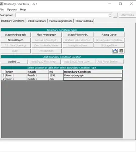
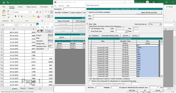
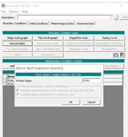
Data Received from PWD on discharge is added UnSteady Flow data.
Step 9:
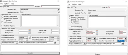
Unsteady flow analysis computations are carried.
Step 10:
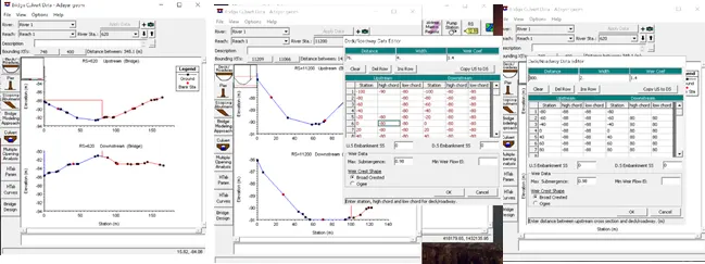
Add bridge and culvert details.
Step 11:
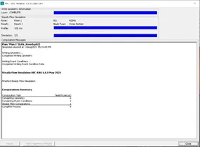
Simulation is computed.
Step 9:
Result
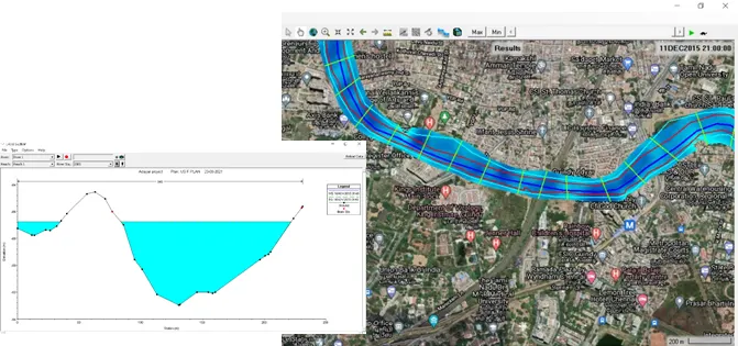
Velocity
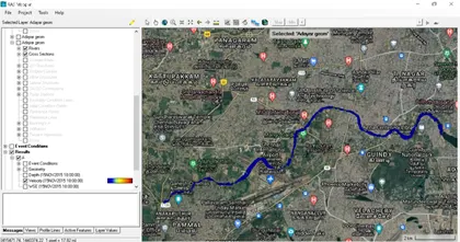
Depth
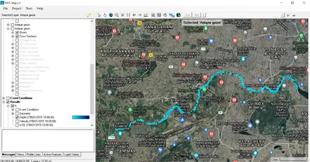
Water surface elevation
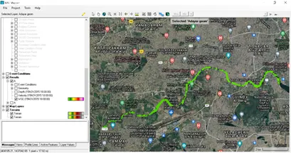
Cross section
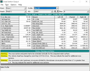
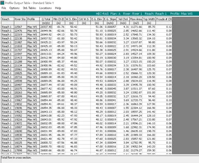
Profile summary
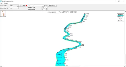
XYZ perspective plot
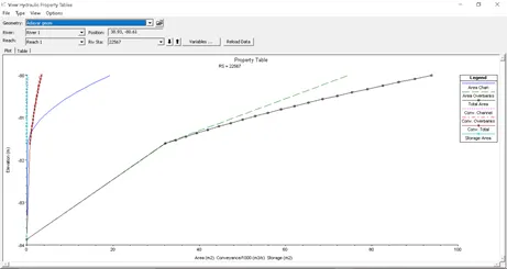
Hydraulic Plot
Also attached the flood summary results