Project 1
- Design the mainline alignment.
- Create the existing ground profile of the above created alignment. Design the proposed profile for the mainline alignment.
- Design alignments for remaining 4 intersecting streets (use mainline alignment CL to tie in).
- Export the alignments, profiles to Land XML and save it in geometry folder.
Q-1 : DESIGN THE MAIN ALIGNMENT :
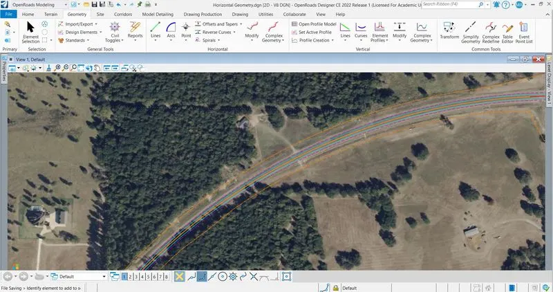
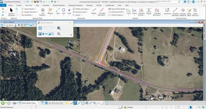
Create a file named as HORIZONTAL GEOMETRY with 2D SEED > Add coordinate > Reference Proposed and Existing right of way file > Set the reference file in proper scale > Go to geometry tab > By using horizontal tools; We create main alignment.
Q-2 : GROUND PROFILE :
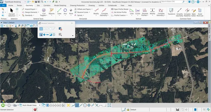
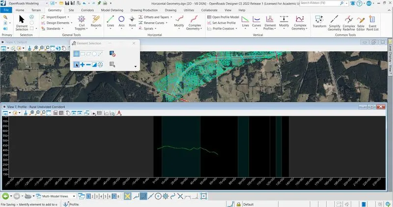
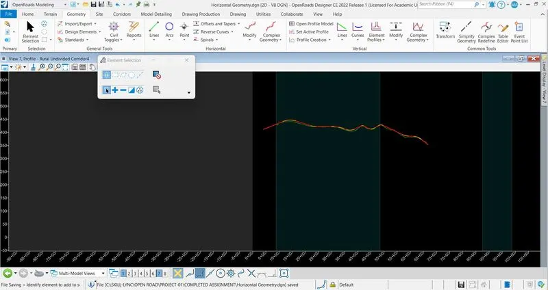
Reference the TERRAIN FROM FILE file > Set the proper scale > Set the profile active > Open profile model > select the alignment > Open in another tab > Surface profile is installed > Click on complex geometry > Profile complex by PI > Set the line and curves > Profile is ready.
Q-3 : ALIGNMENT FOR INTERSECTION :
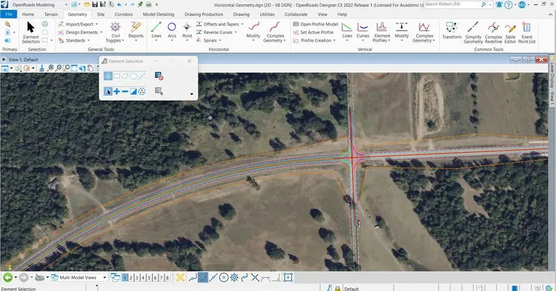
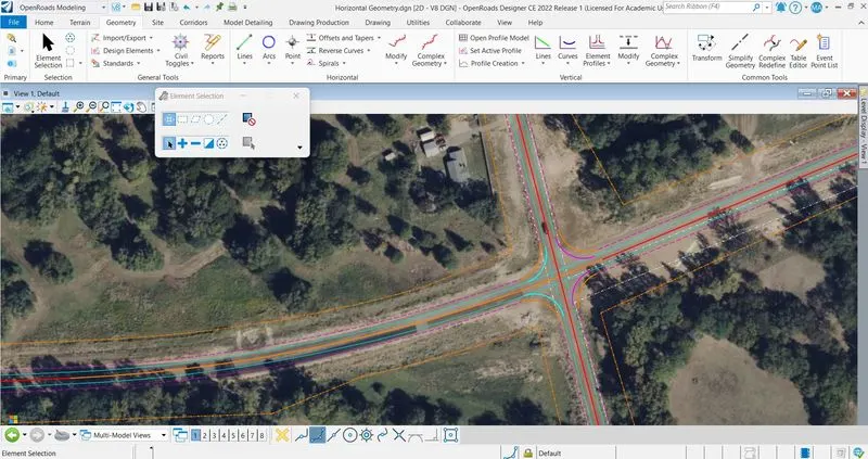
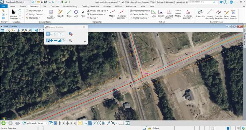
First create the alignment of intersections > By Offset and Tapers, Create the edge of pavment and shoulders > By Arc, Set the edge of pavment and shoulder > Tie up the intersection and mainalignment.
Q-4 : EXPORT THE FILE :
Click on Terrain tab > Export to file > Select the terrain > Export in Land xml file > Do right click > Survey-01 Land xml file saved.