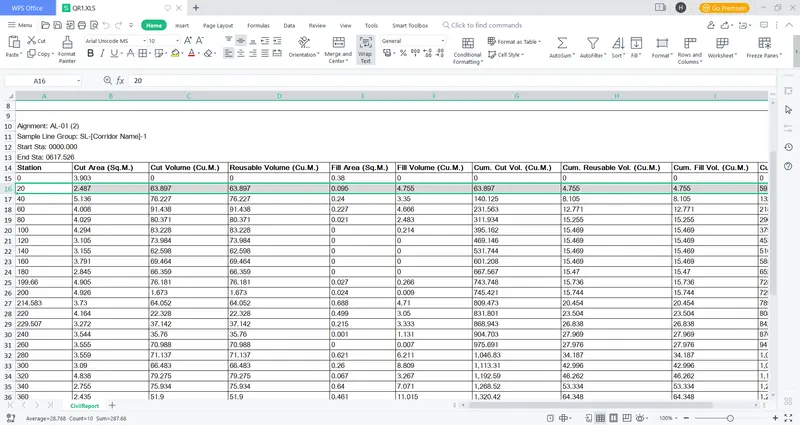
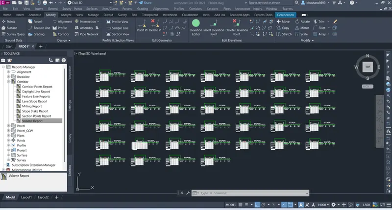
Project - A project on design of road from a given topographic data
1.Create Point group by using Provided file (PNEZD format)
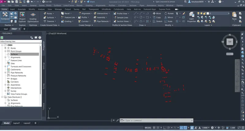
2.Create Surface from Point group
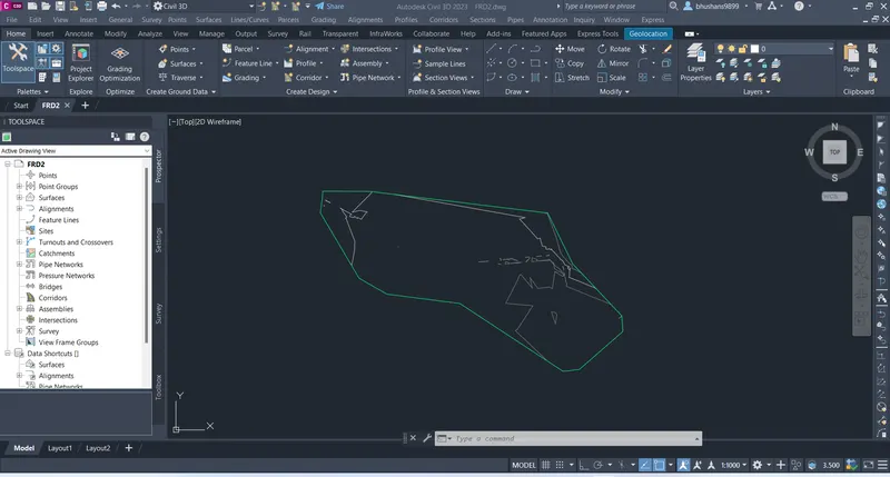
3.Design Alignment by using IRC 38
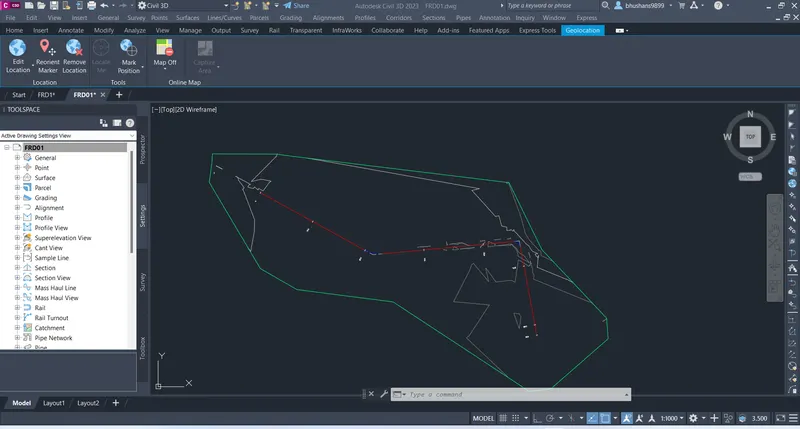
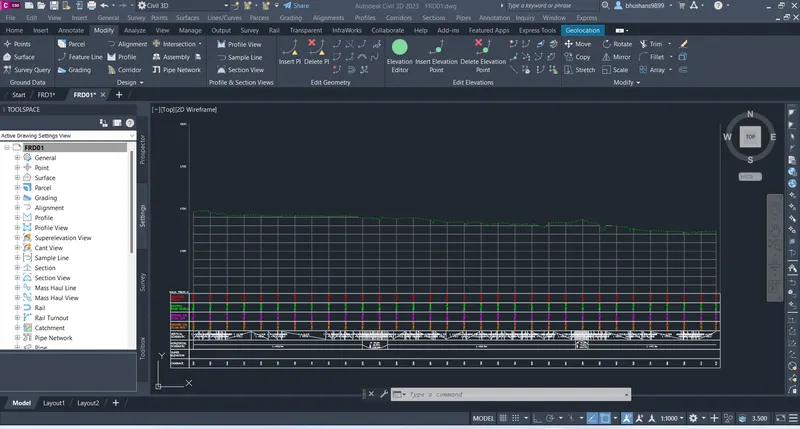
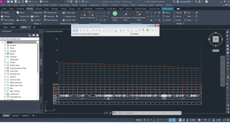
4.Create profile view & Design Vertical Geometry as per IRC
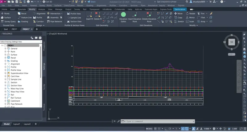
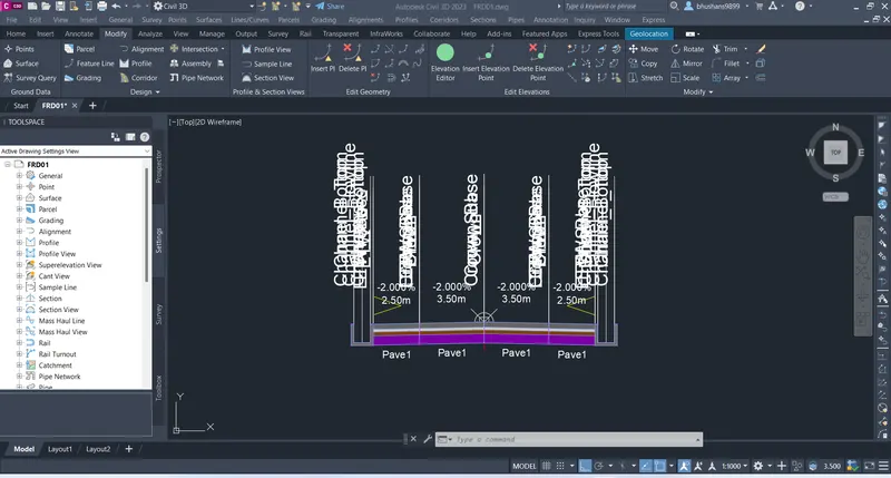
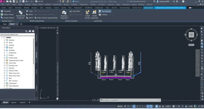
5.Create Corridor as per TCS schedule Provided
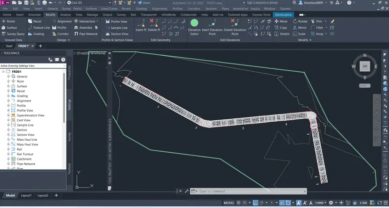
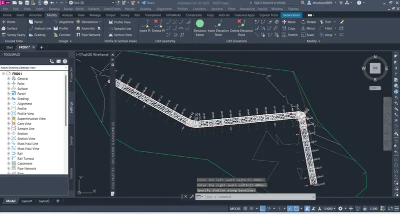
6.Calculate Earthwork & Pavement Quantity