Project 1
Objective: Developing a hydraulic model for river Periyar in Pindimana Panchayat in Ernakulam District in Kerala. Only a small length of the river was considered in the project. The cross-section data and data for the UH method were unavailable, the given values were used.
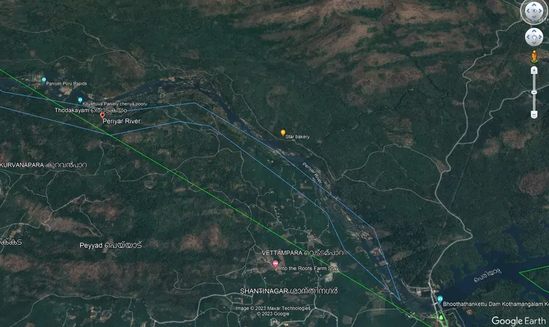
1. River Periyar (Google Earth Pro) - a small reach of river Periyar was selected for the Project.
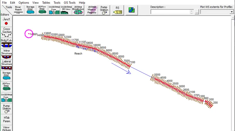
2. Modeling - The river was drawn using the River Reach tool. Addition of given cross-sections in the Geometry data editor from the given Excel sheet.
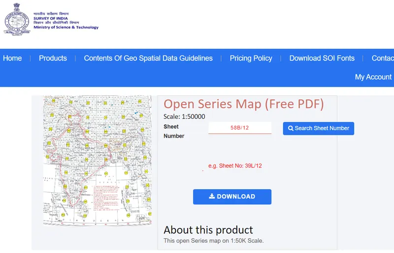
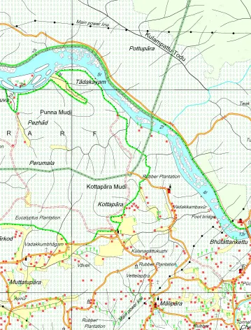
3. Toposheet - River Periyar from SOI-Nakshe (sheet number 58B/12, State-Kerala, District- Ernakulam).
4. Catchment area calculation using AutoCAD.
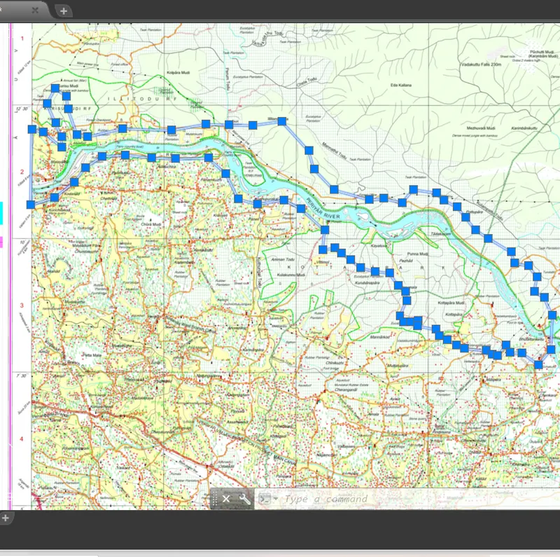
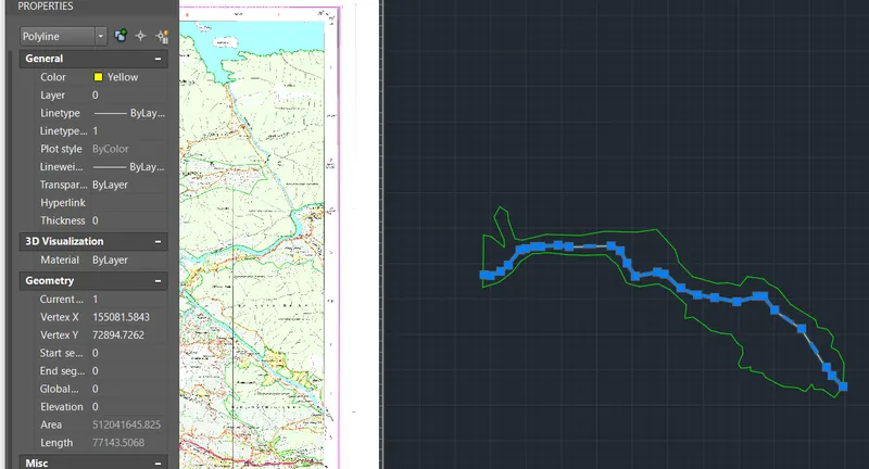
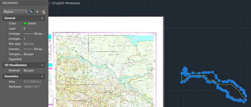
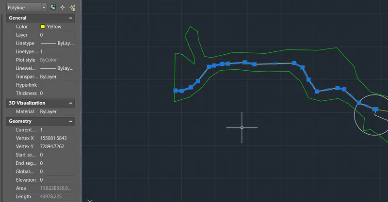
Catchment area=512.05 sq. km
Ls=77.136 km
Lc=43.978 km
5. UH Method- Flow calculations:
As the given Excel sheet for UH method flow calculations was read-only, the values of Ac, Ls and Lc were kept as such.
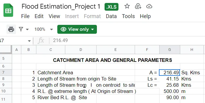
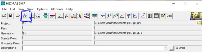
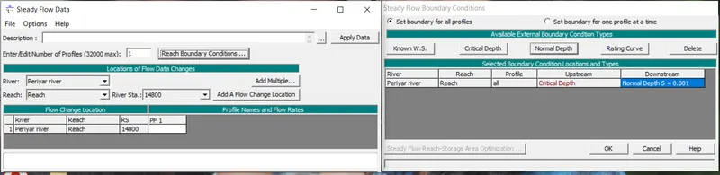
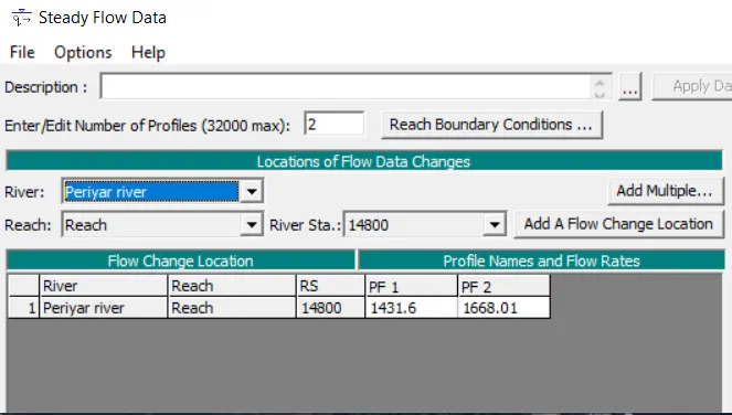
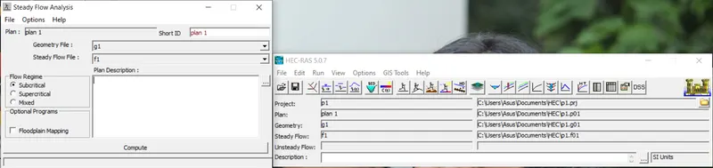
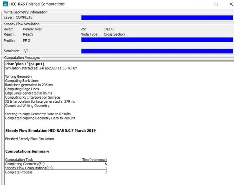
6. Steady flow analysis - model RUN for two profiles, 25-year and 100-year flow
7. RESULTS
a. Detailed output table
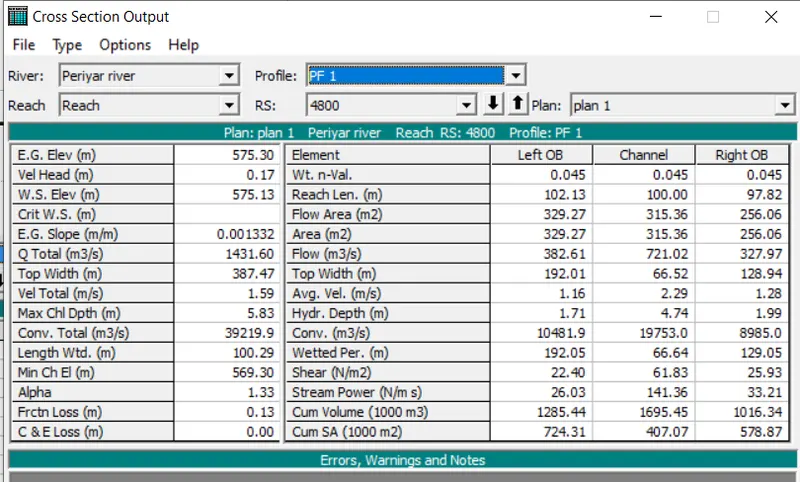
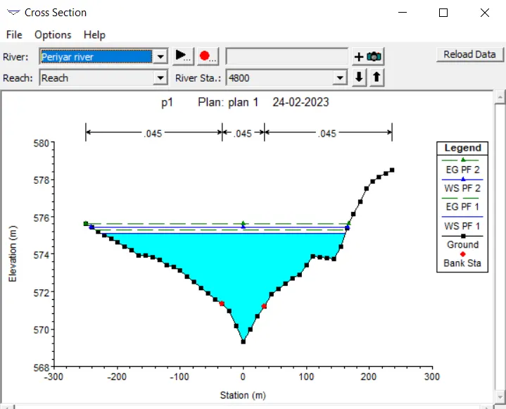
b. Cross-section (4800)
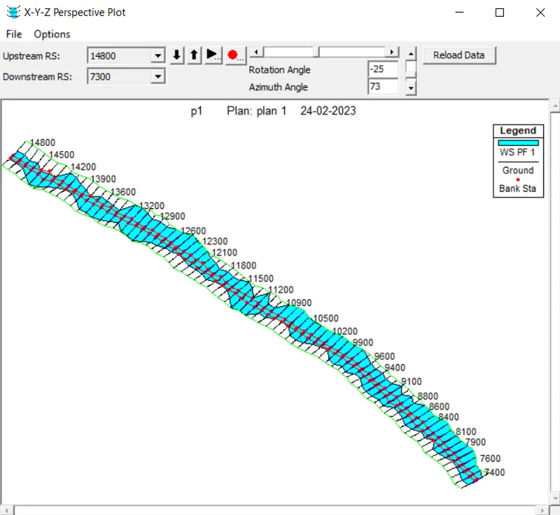
c. X-Y-Z Perspective plot