Project 2
- Objective
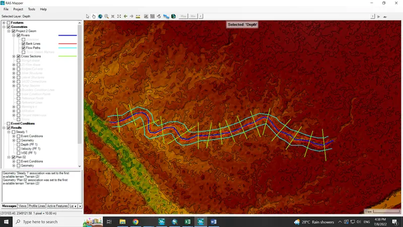
Ans. Question 2 is about to select at least 10 km reach for development of model. Question 3 is about create the boundary like river line, bank line, flow path and cross-section using the ras mapper. Question 4 is about the flow calculation like steady flow using the synthetic unit hydrograph and unsteady flow data is directly available from river gauging station. Question 5 is about to use both steady and unsteady flow for analysis of flood in river.
- Consider minimum of 10km river reach
Anjaana River of Tapi tributary is selected in this project. Tributary length is 34.227 km
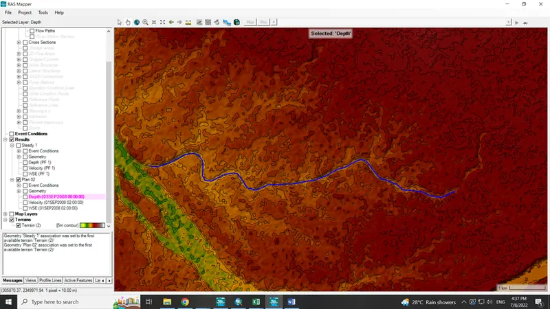
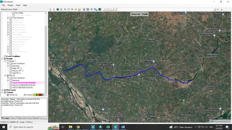
- Using RAS Mapper create boundaries
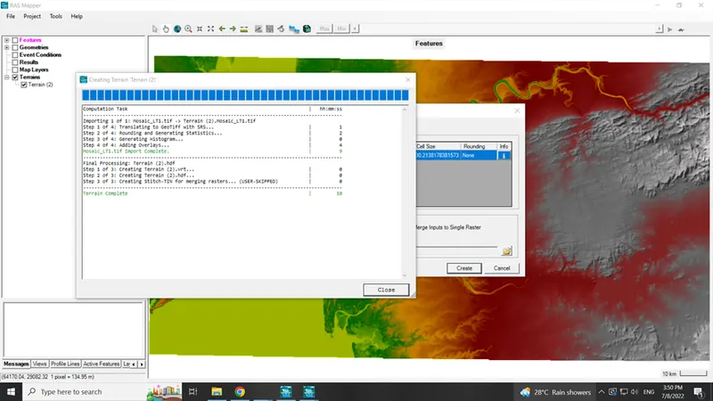
DEM added
Stream with river line, bank line, flow path and cross-section.
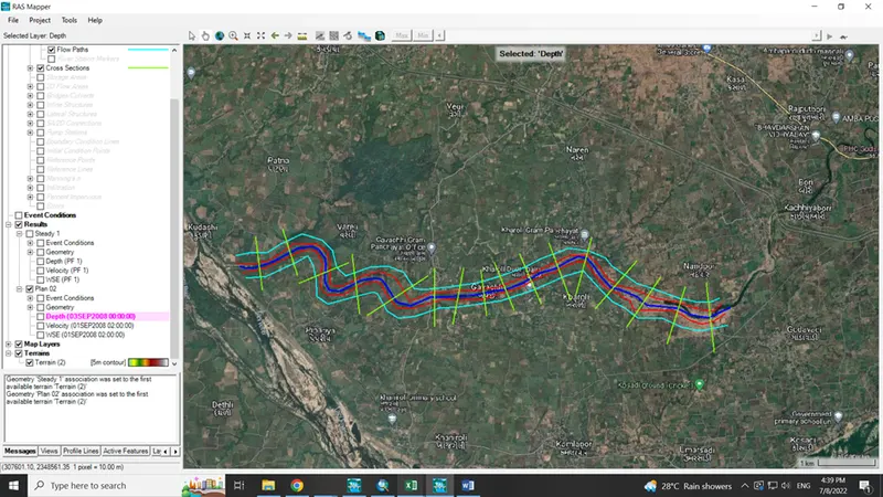
- For flow calculation use any one method as per syllabus
- Steady flow is calculated
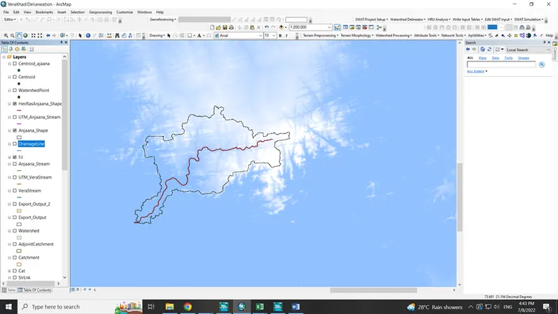
Catchment area of Anjaana River which is tributary of Tapi River is calculated in ArcGIS software by delineating the river using the arc hydro tool.
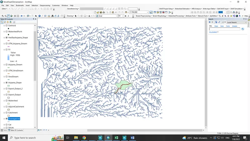
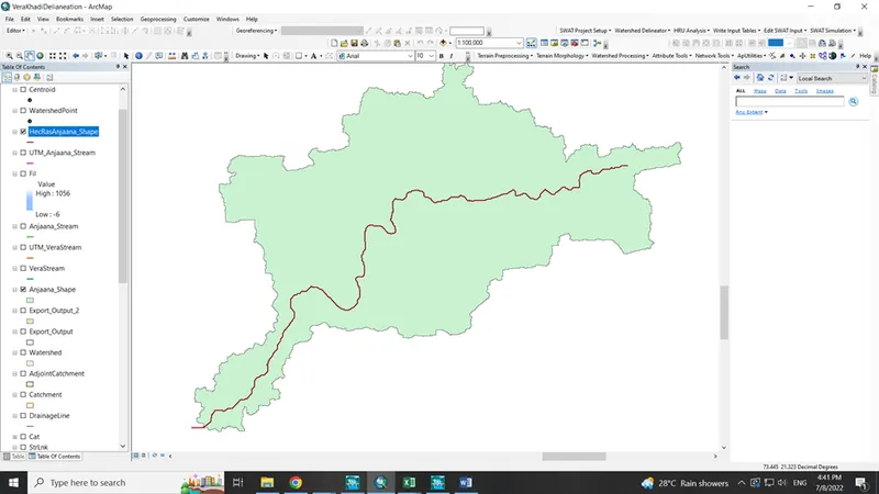
River with catchment area 160.64 km2
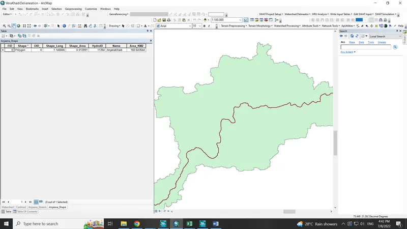
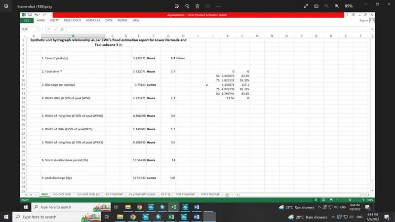
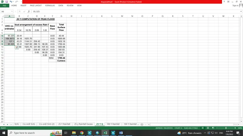
25 year flood calculation using synthetic unit hydrograph method
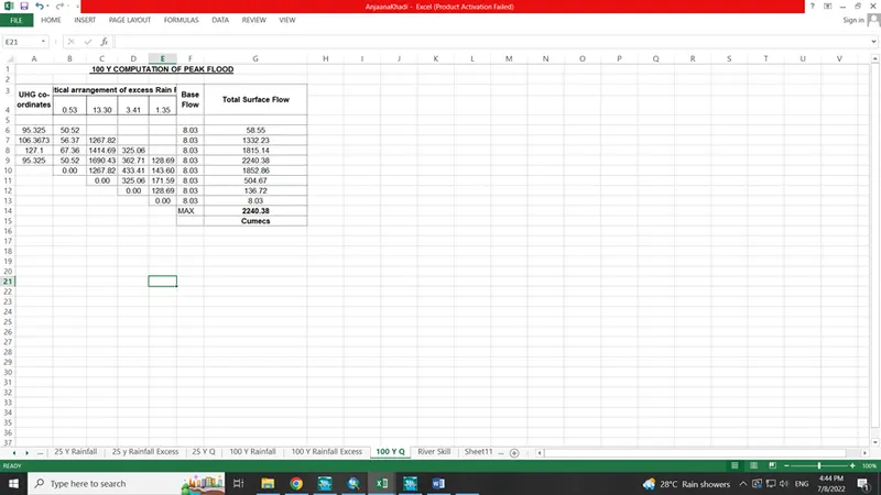
100 year flood calculation using synthetic unit hydrograph method
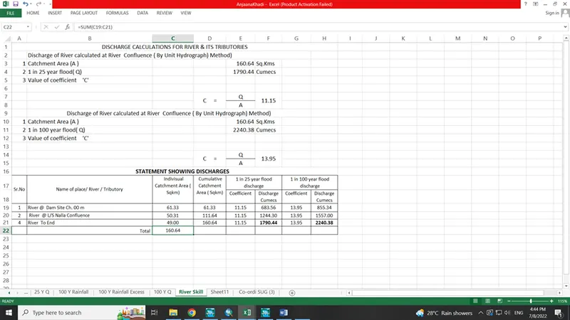
- Consider both steady and unsteady flow condition
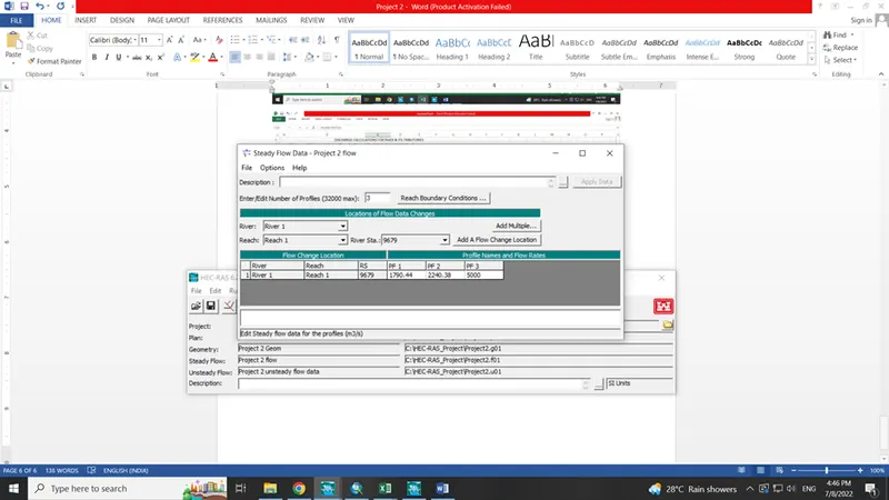
- Steady flow analysis
Flow data
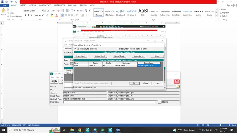
Boundary condition
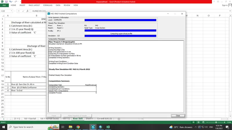
- Steady flow analysis results
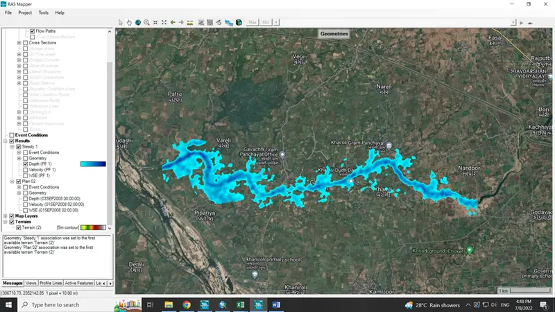
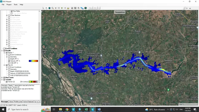
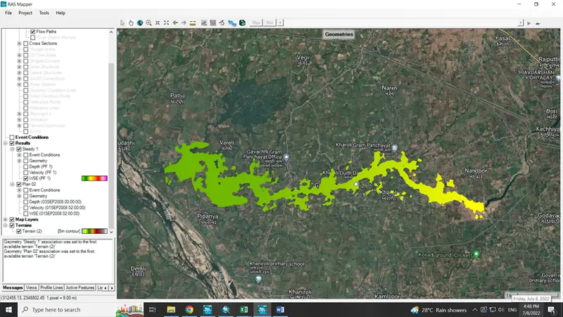
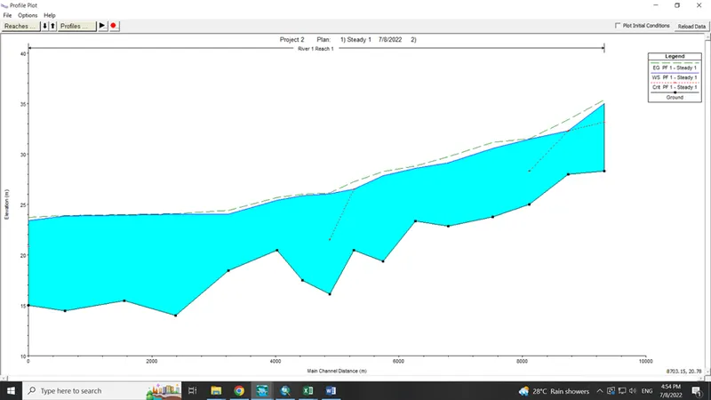
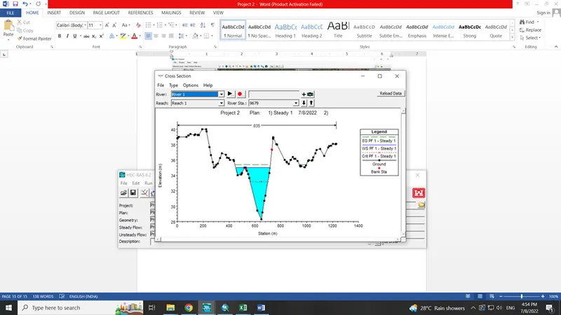
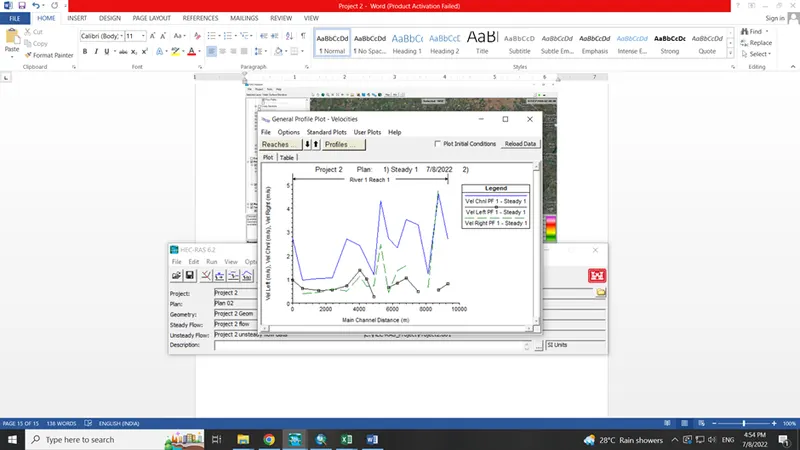
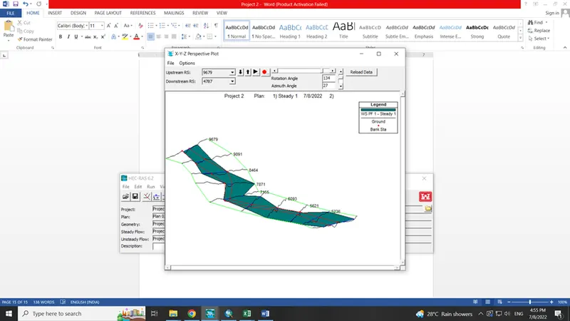
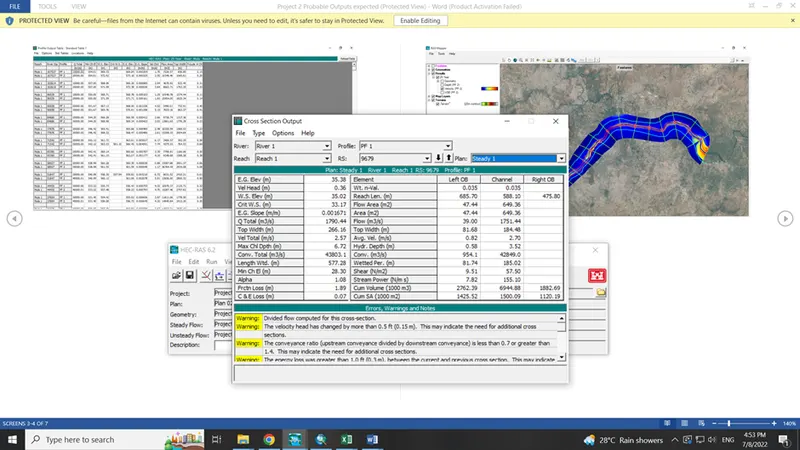
- Unsteady flow analysis
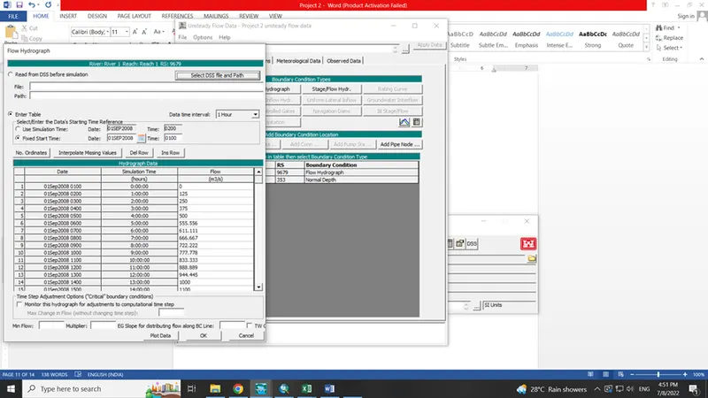
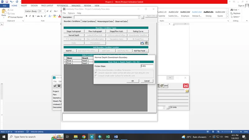
Boundary condition
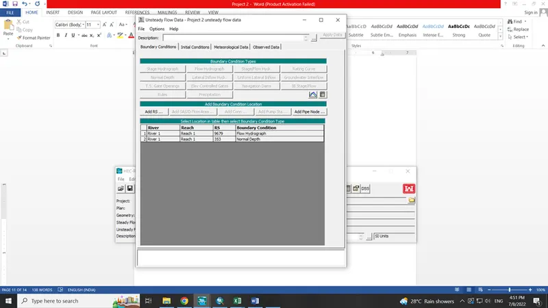
Upstream boundary condition as Flood data
Downstream boundary condition as normal depth
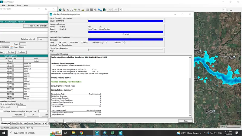
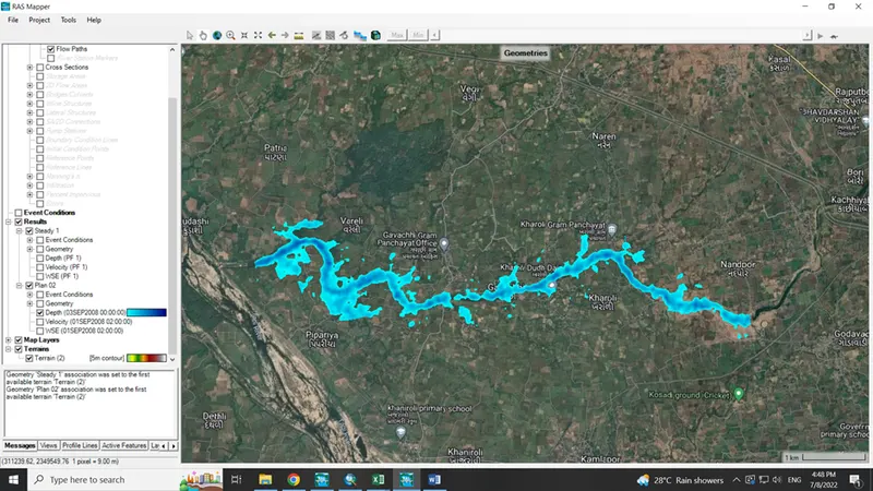
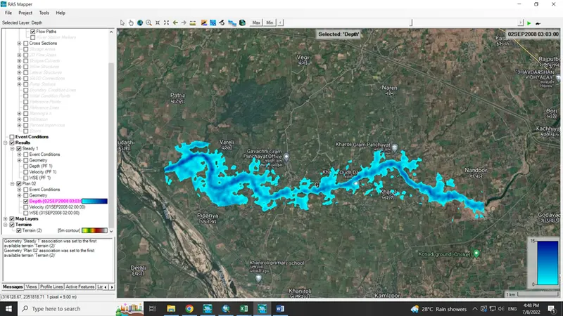
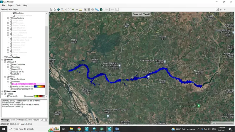
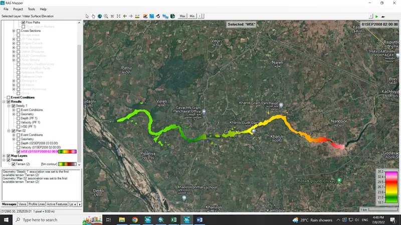
- Unsteady flow analysis results